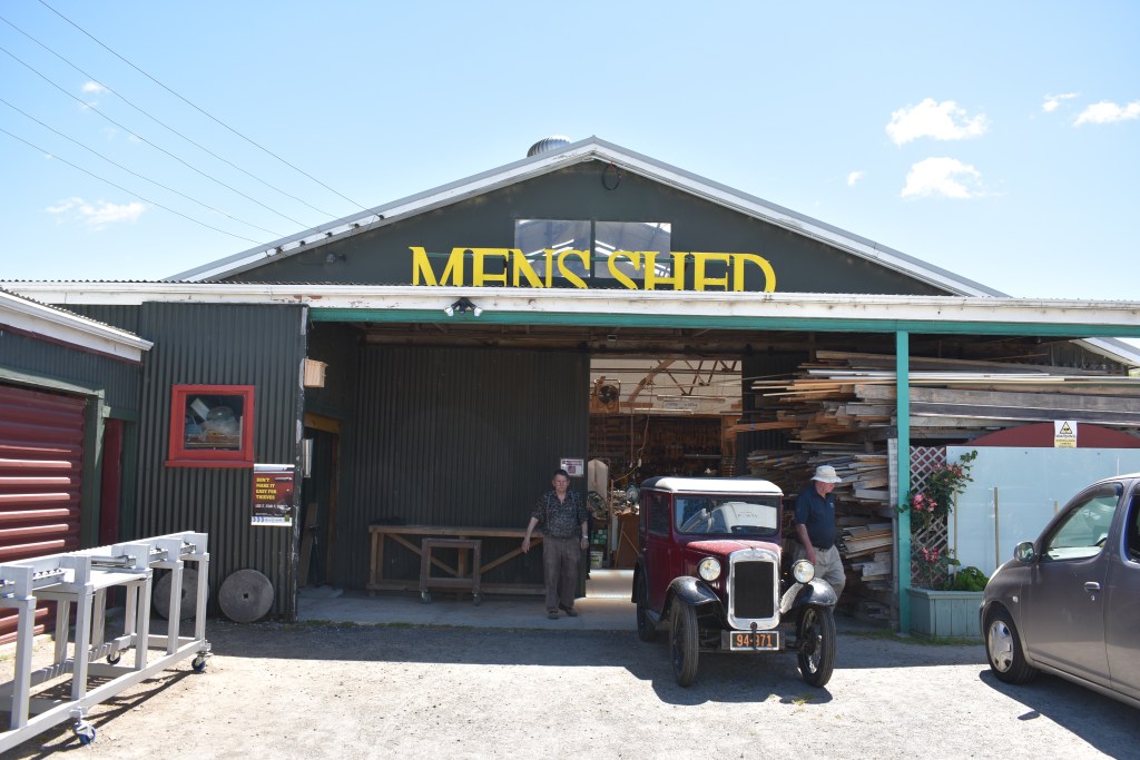
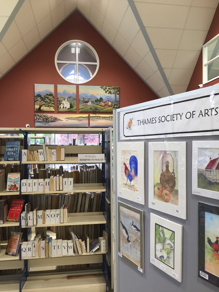
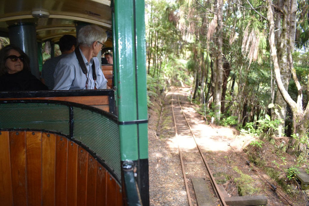
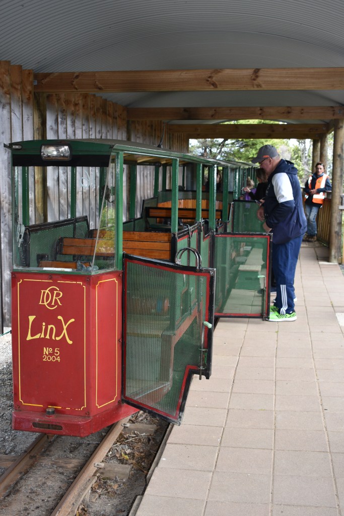
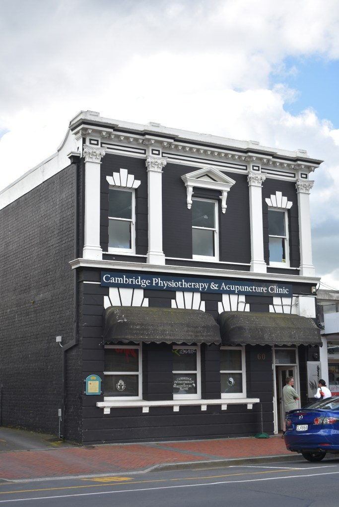
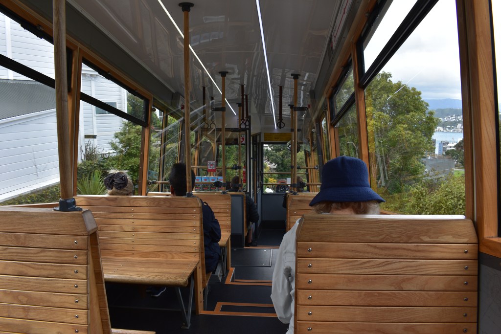
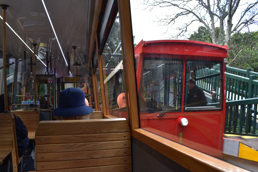
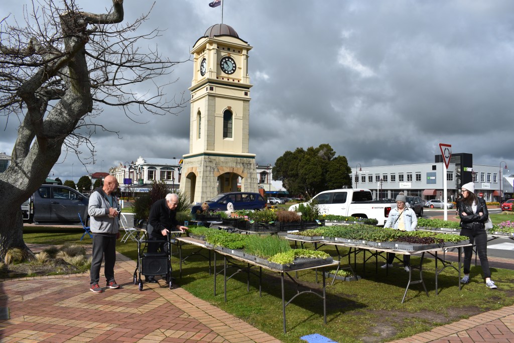
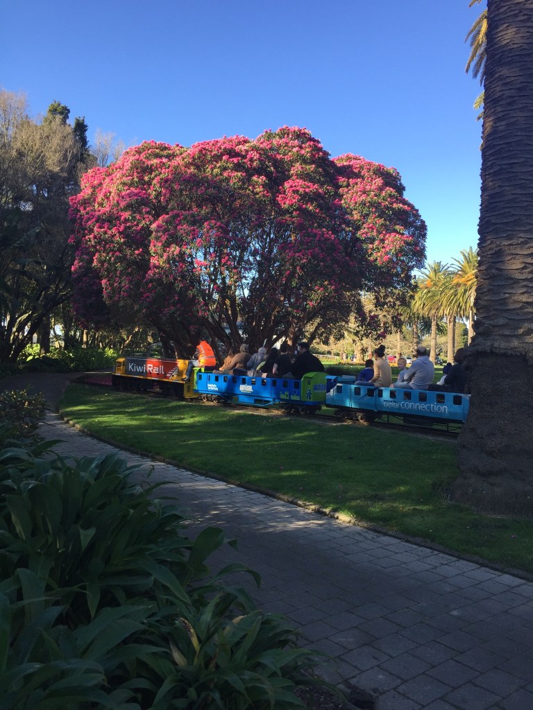
The bus journey on Friday 22nd back to Tauranga via Thames was enjoyable except for a most boring man who, for the whole journey, was subjecting the young woman who he sat next to, to details of the SIM card in his phone telling her over and over that it should have been topped up automatically by direct debit but wasn’t. He spent the whole journey from Thames to Tauranga telling her the same thing at least 3 times including every little detail of his account, phone calls he’d made to try to sort it out, what was said by whom, emails etc etc. The poor girl was trying to help him and had a great deal of patience. If he’d been sitting next to me I’d have given him short shrift or feigned tiredness and closed my eyes to shut him up. My over the shoulder glances in his direction went unheeded.
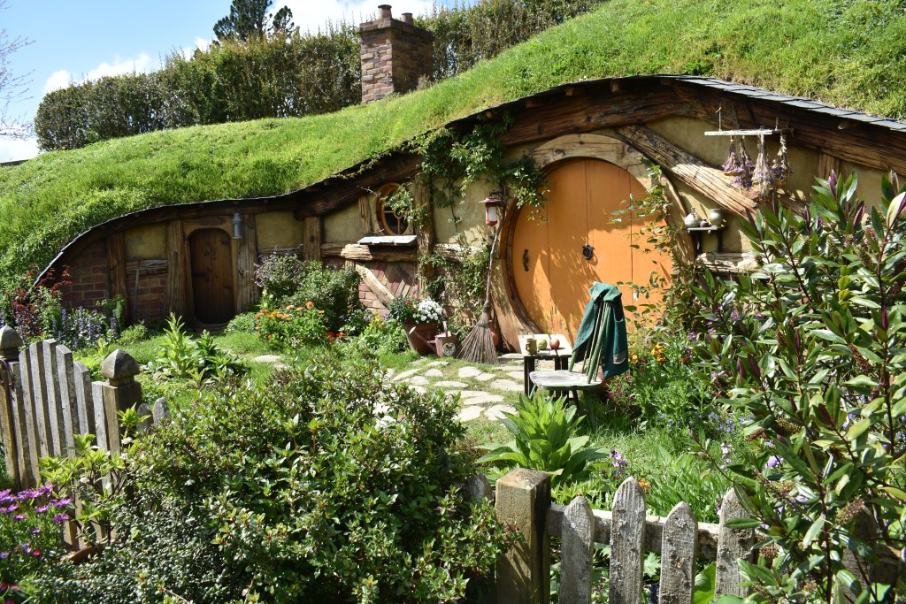
I picked up my hire car from the same place as before, paid a visit to Countdown supermarket for supplies and drove to Ohope Beach, just over an hour away, where I’d booked a small studio for 3 nights via Airbnb. It has a small bedroom, bathroom and tiny kitchen but is perfectly adequate and at only £25 per night very good value here. The owners, a young couple called Jessy and Daniel, live in the house above. When I went to say hello I discovered that they had also done some housesitting via Trusted Housesitters in England for 6 months.
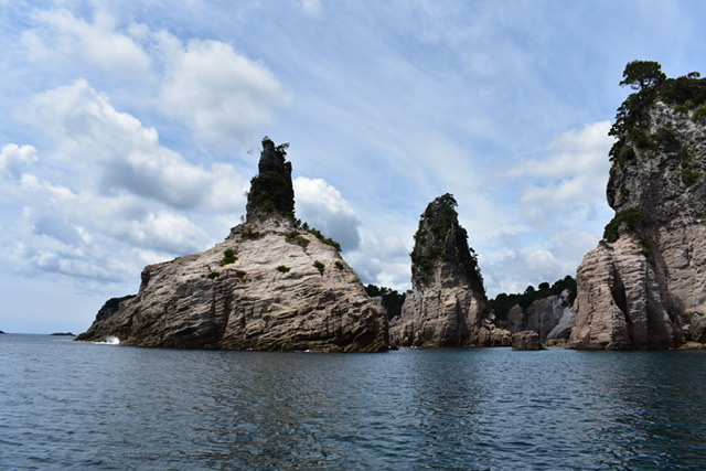
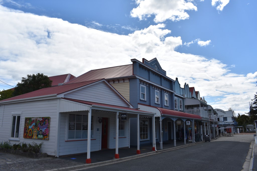
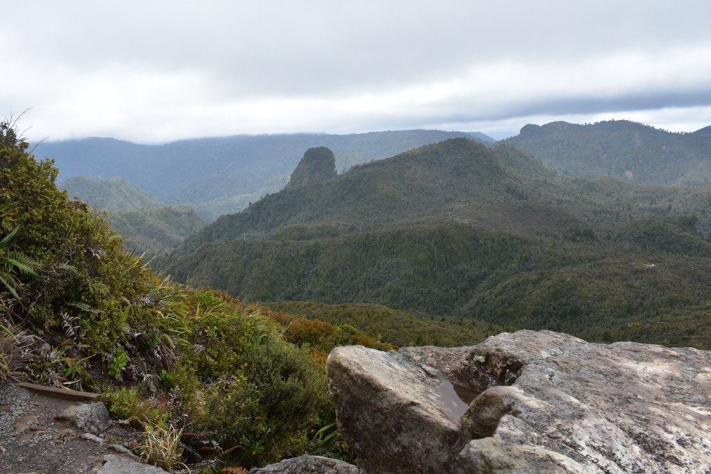
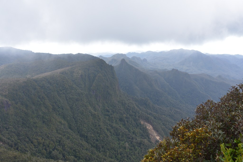
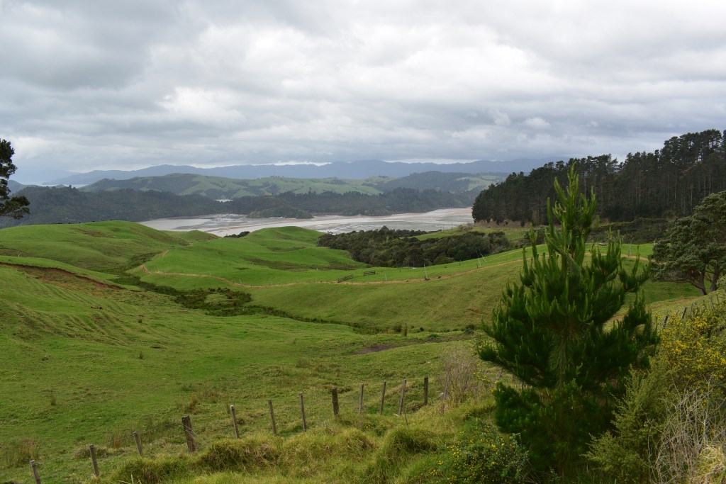
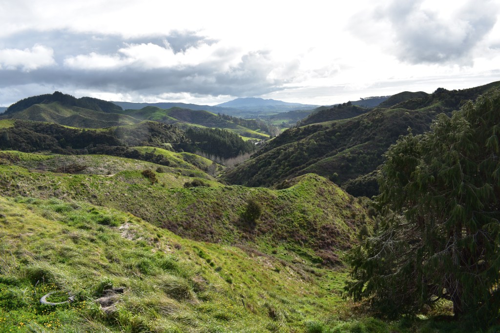
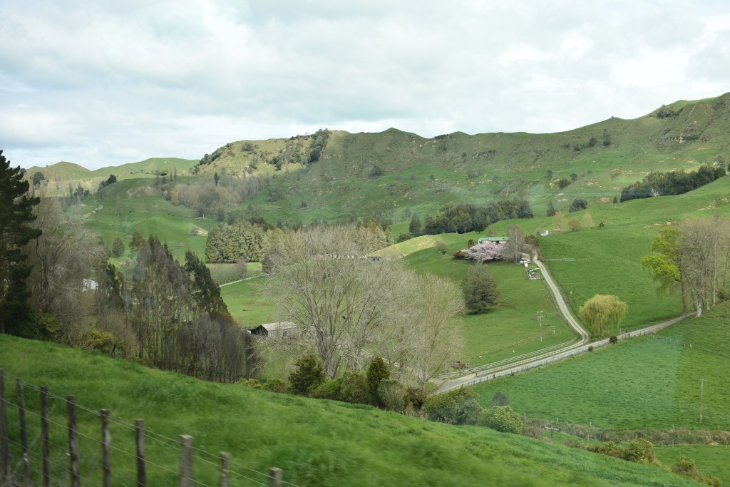
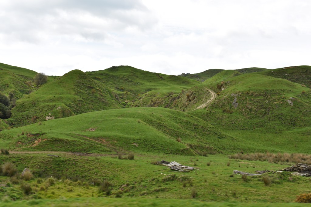
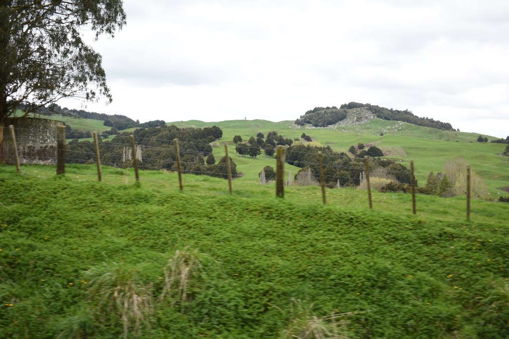
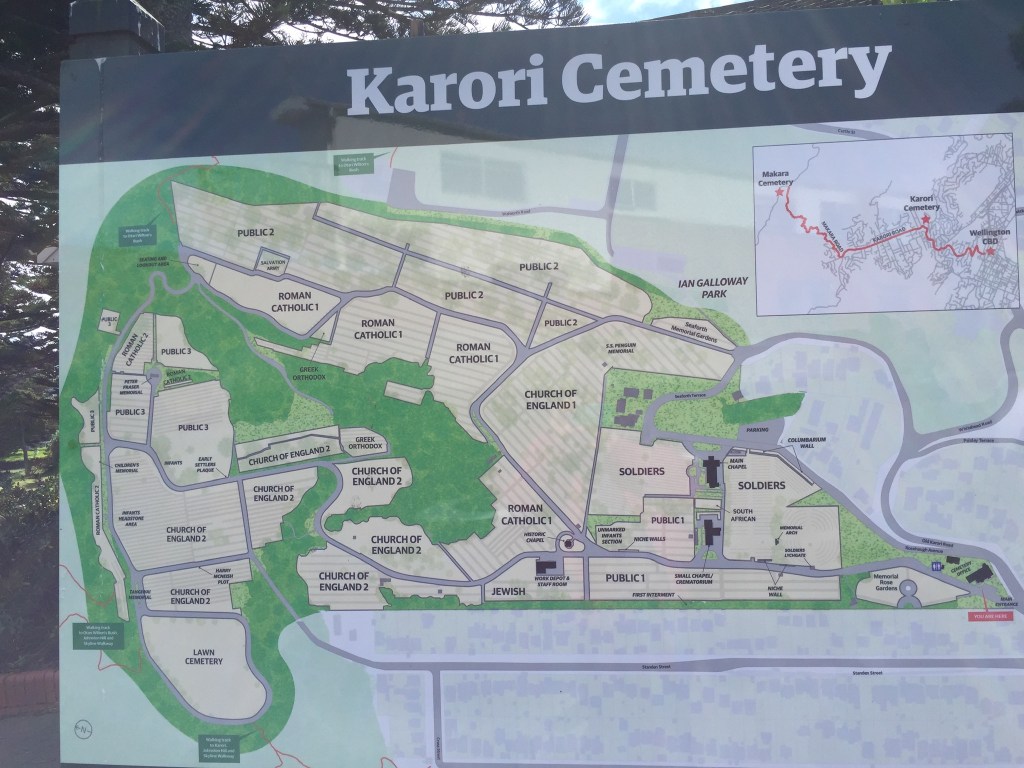
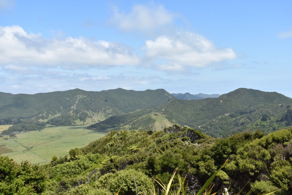
This part of the journey is travelling around the East Cape, down the East Coast as far as Napier then across to Tongariro National Park. Maori culture is particularly visible on the East Coast and lots of brown signs point to various ‘Marae’ (meeting houses). The East Cape is slow-paced, quiet and everyone knows everyone. The drive around should be a rite of passage for NZers but many haven’t done it.
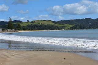
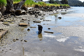
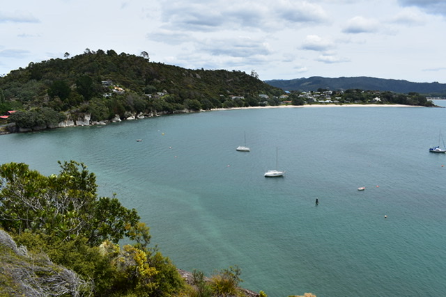
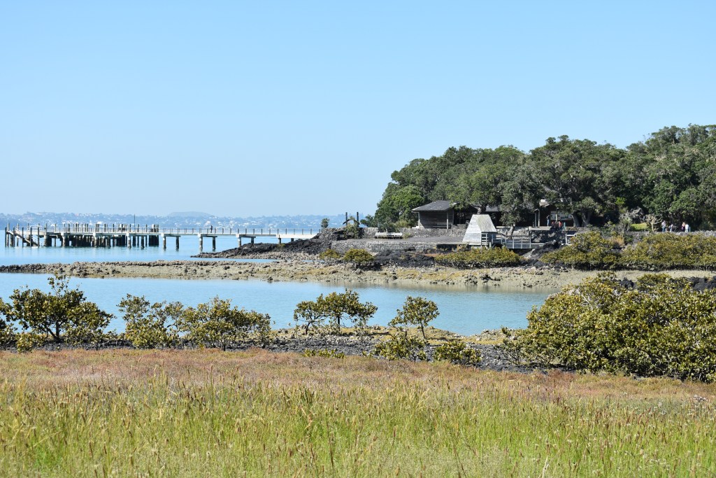
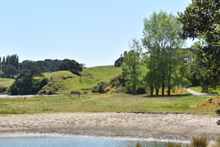
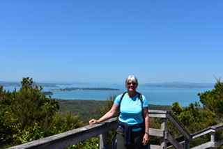
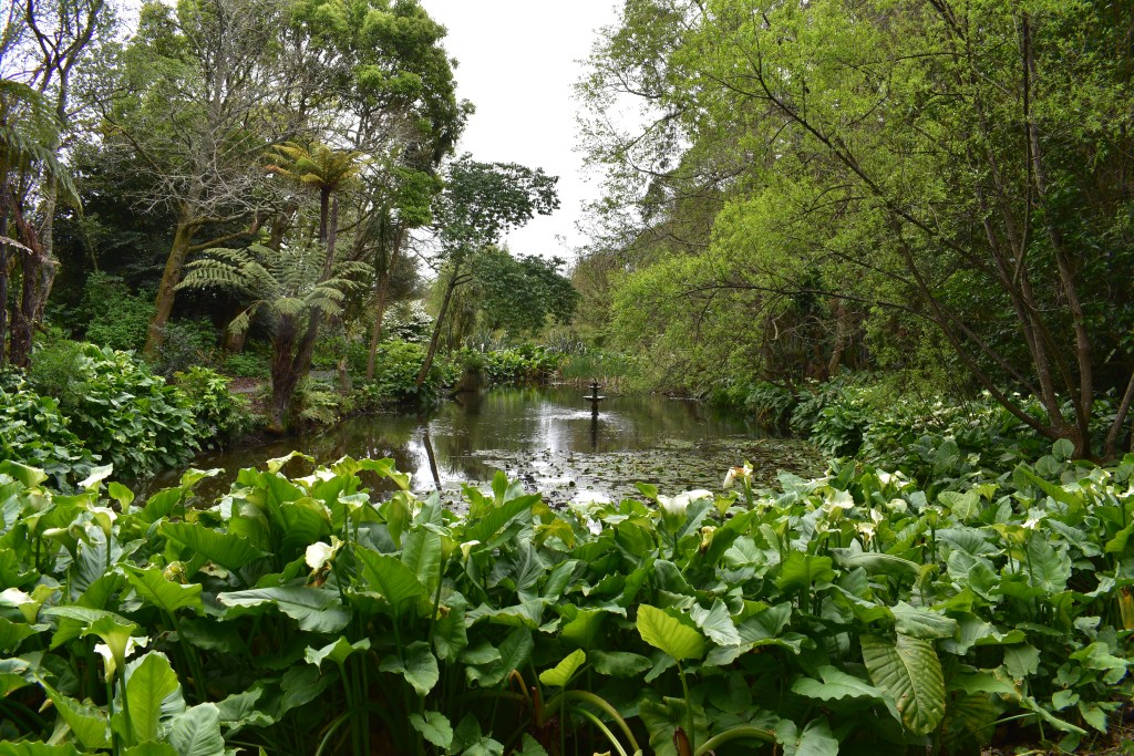
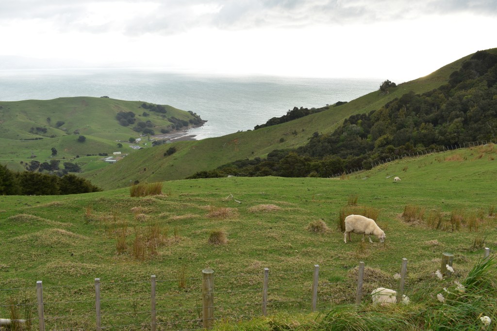
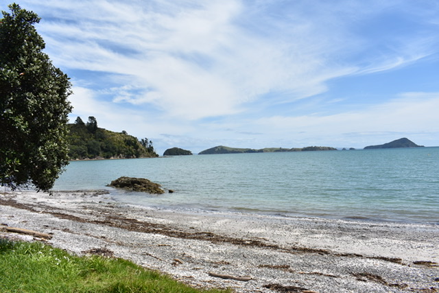
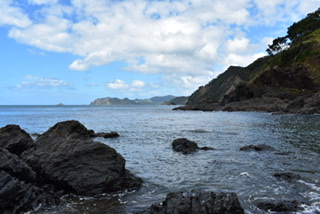
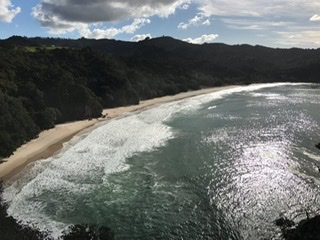
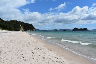
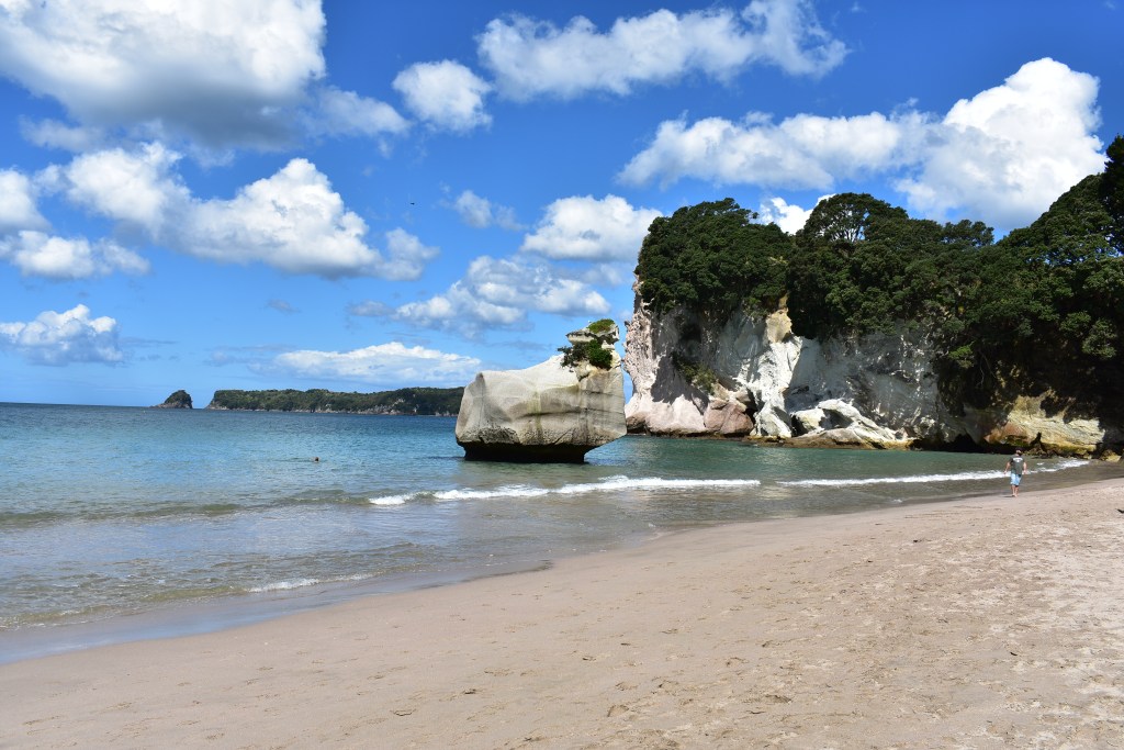
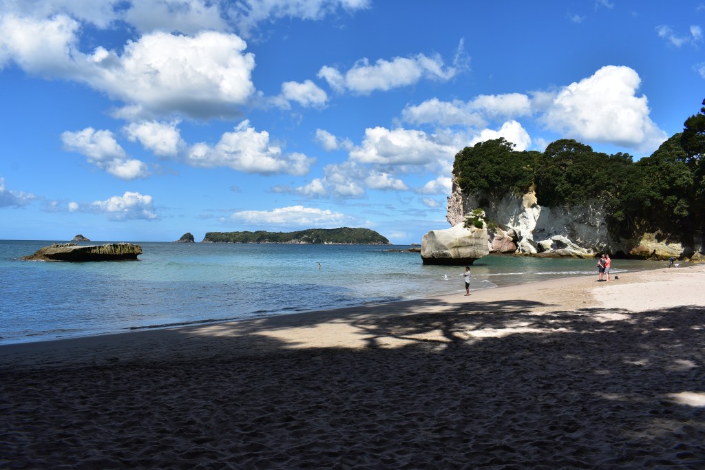
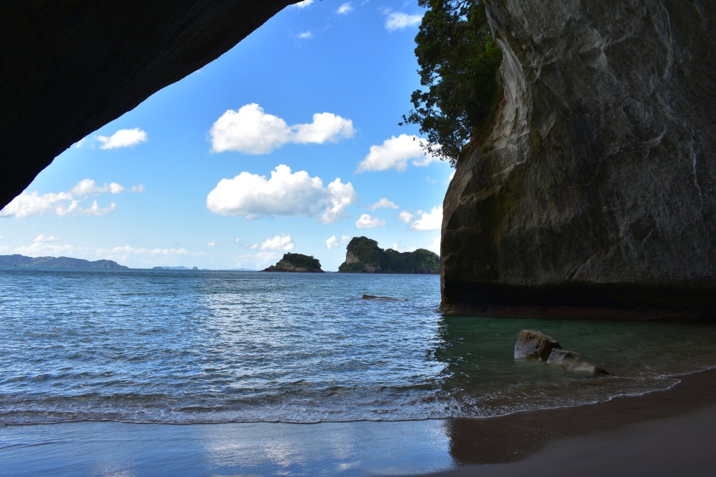
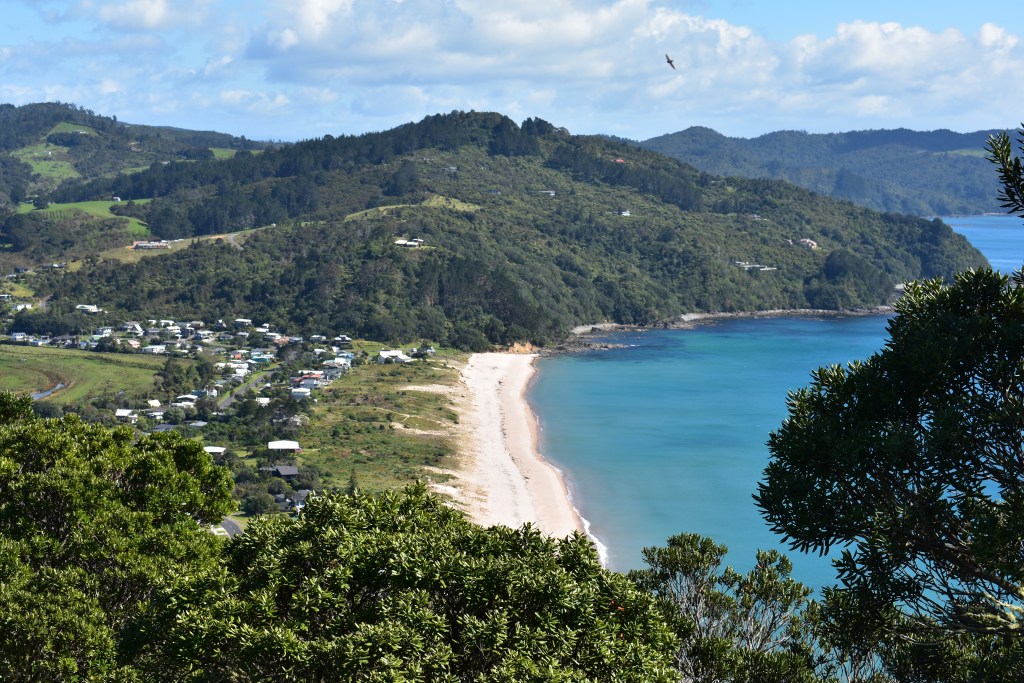
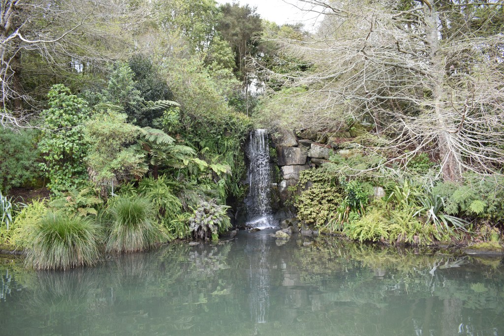
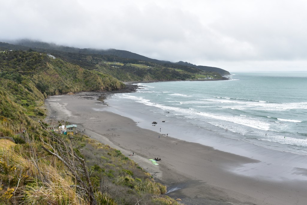
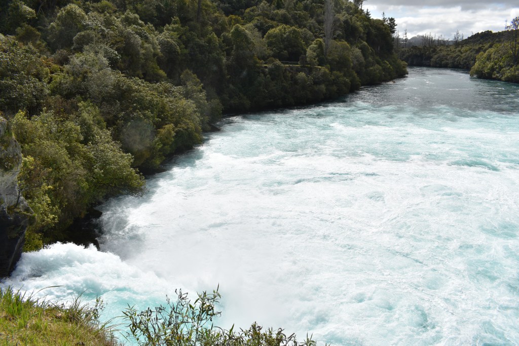
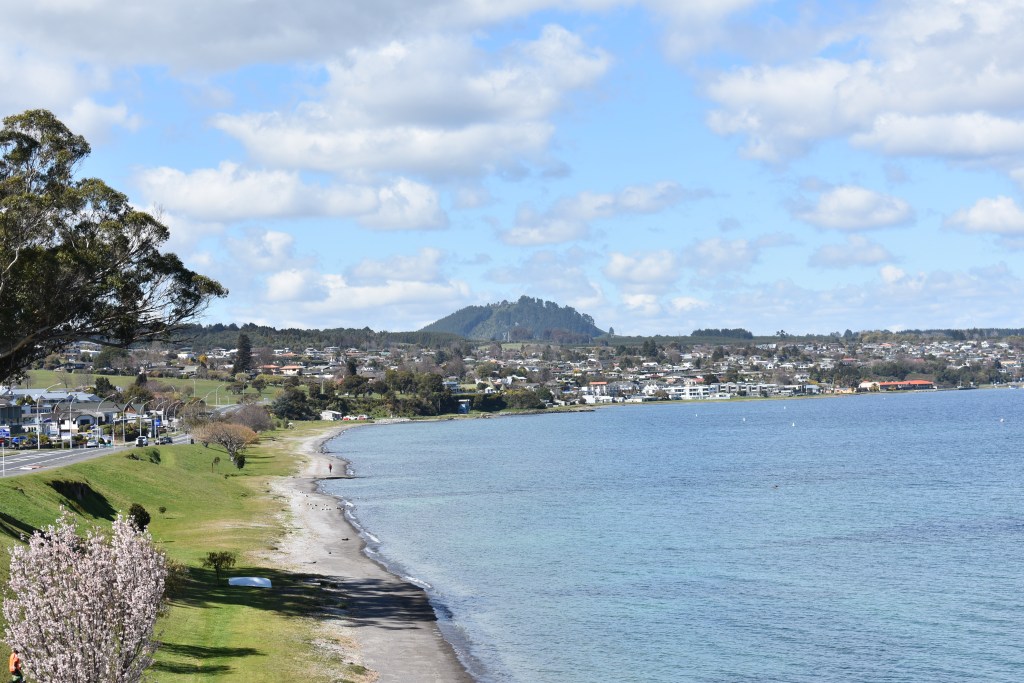
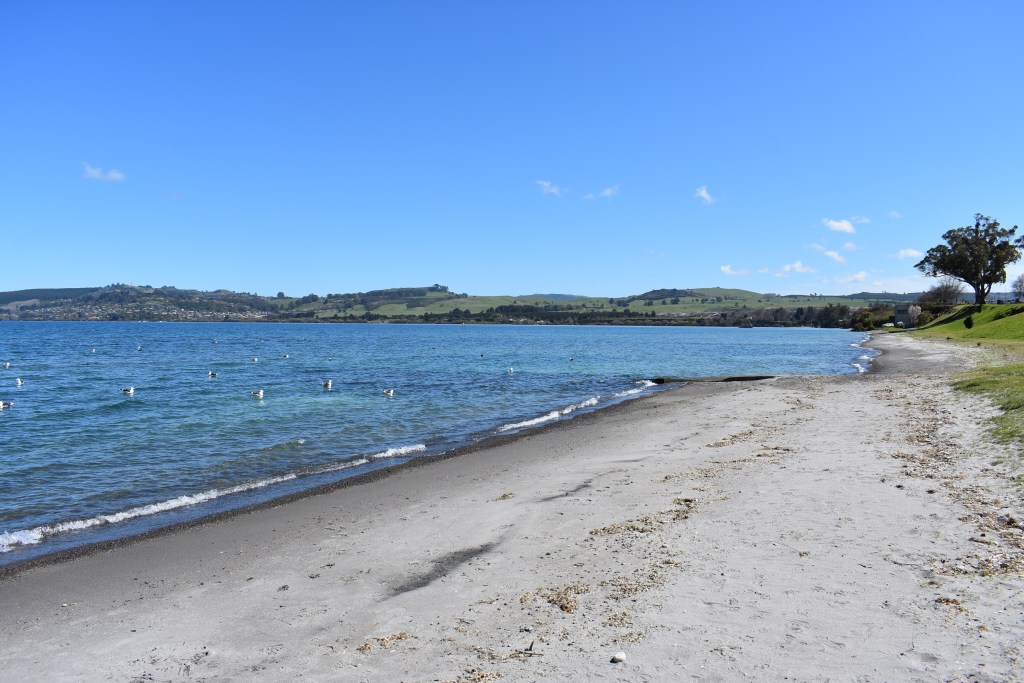
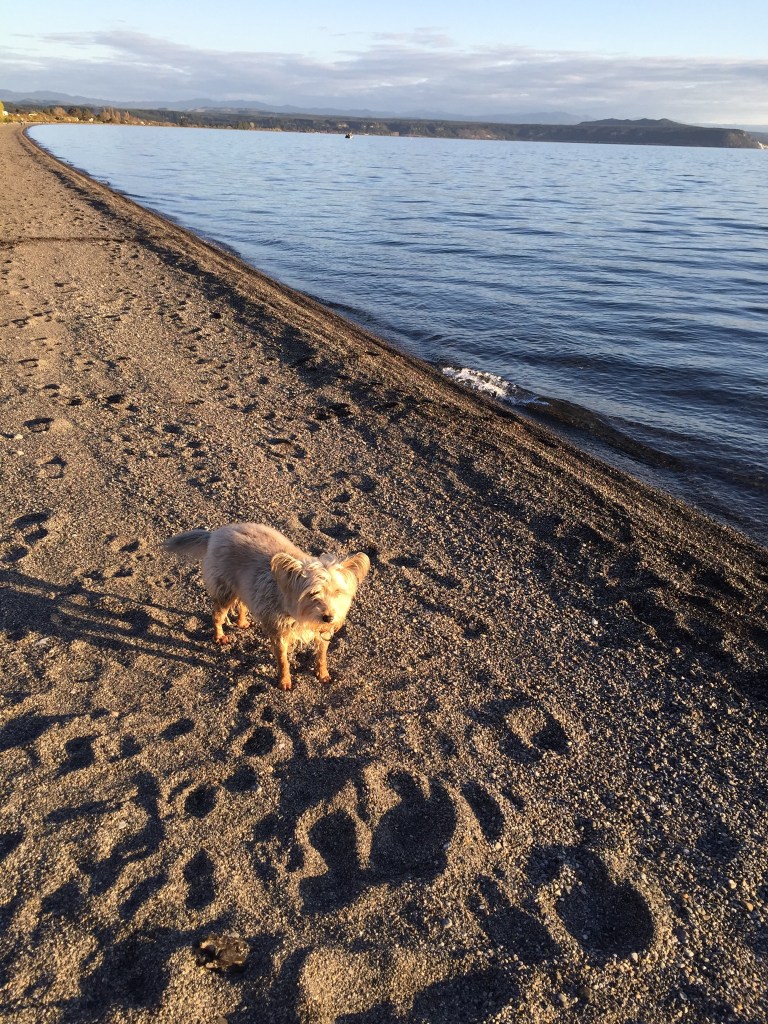
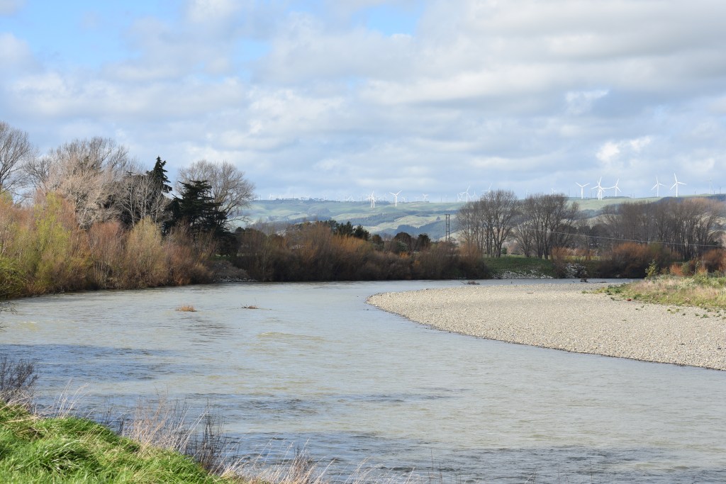
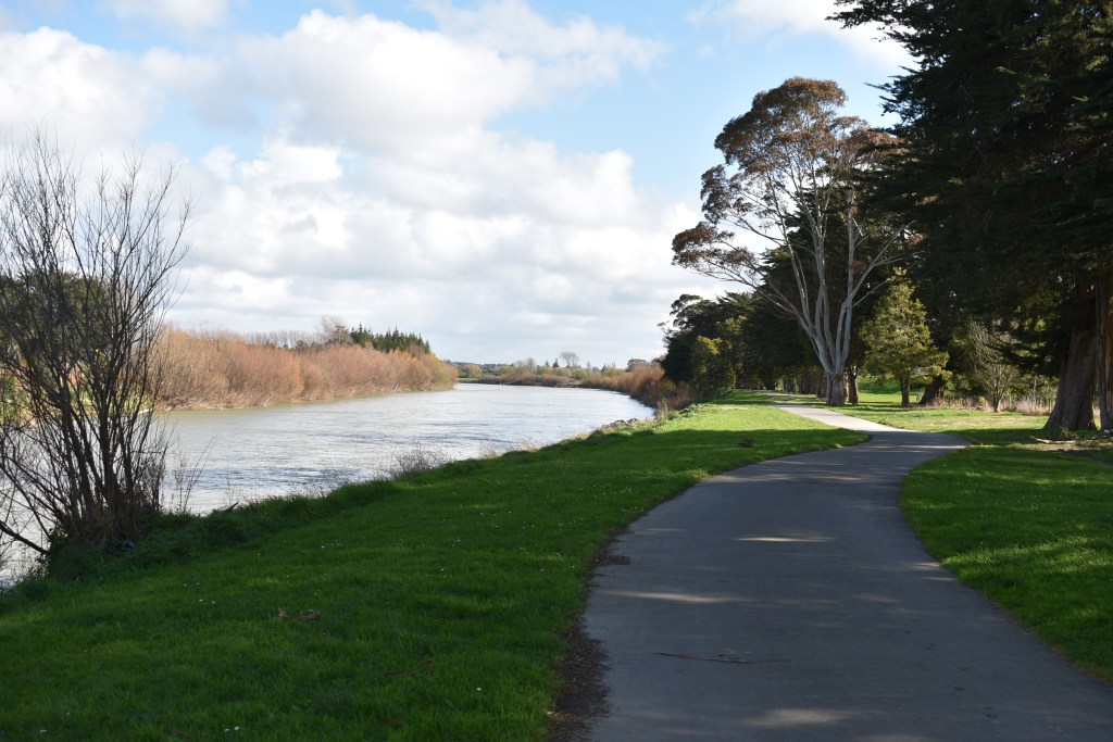
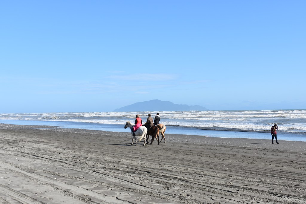
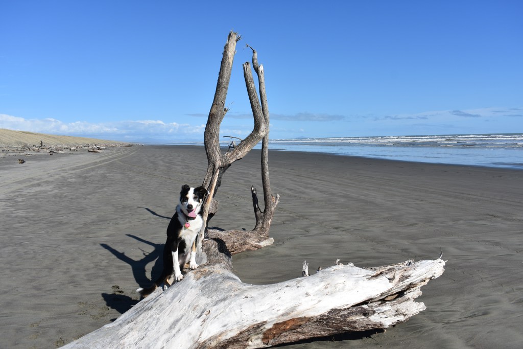
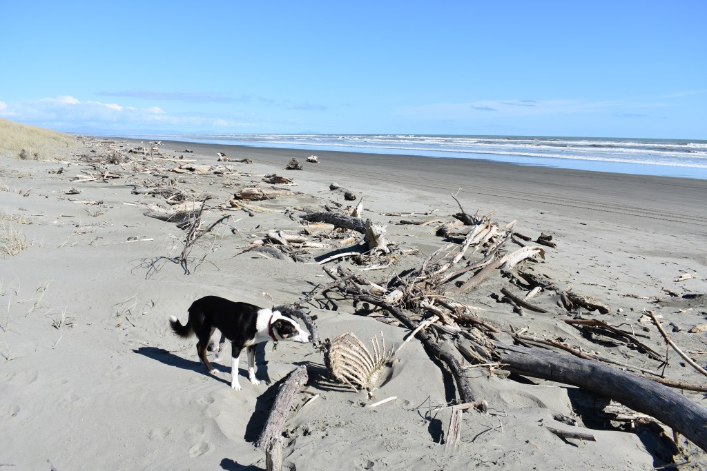
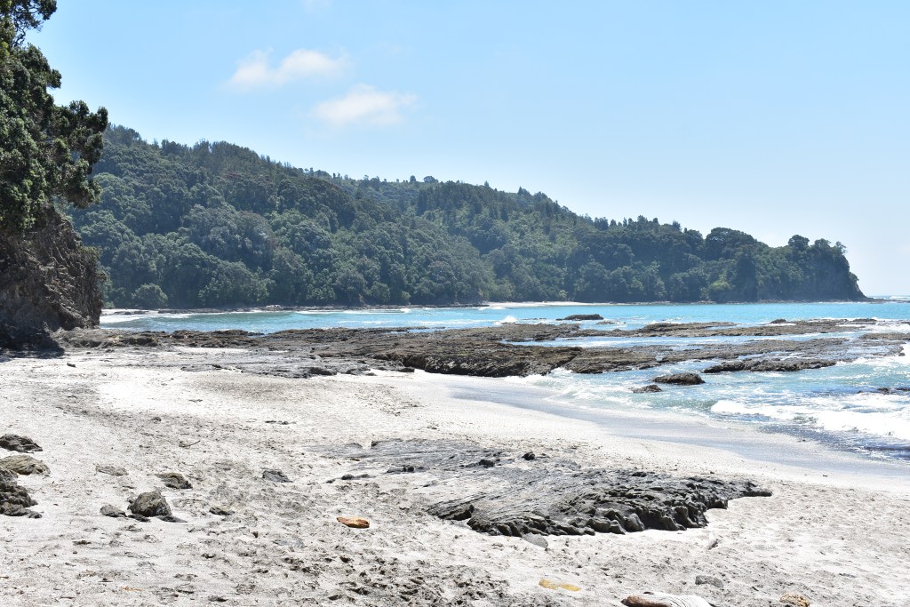
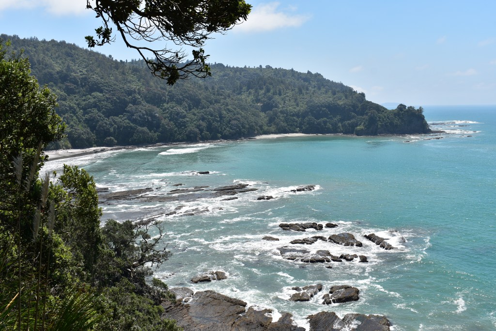
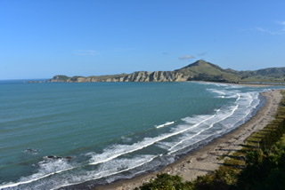
After dropping off my bags and filling the fridge I went to investigate the beach, about 200 yards from the studio. I’d noticed signs saying it was voted NZ’s most loved beach. If that’s true I could see why as it offers ‘the walker, bather, surfie or fisherman 11 kms of uninterrupted white Pacific beach sand’. It was pretty empty, being working hours still, but there was a father with four young children, teaching and encouraging the older two to surf while their mum took videos and photos. It was lovely to see.
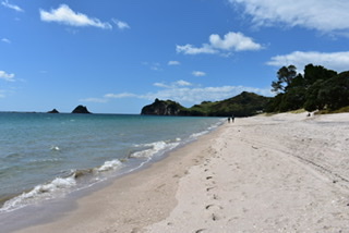
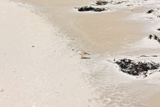
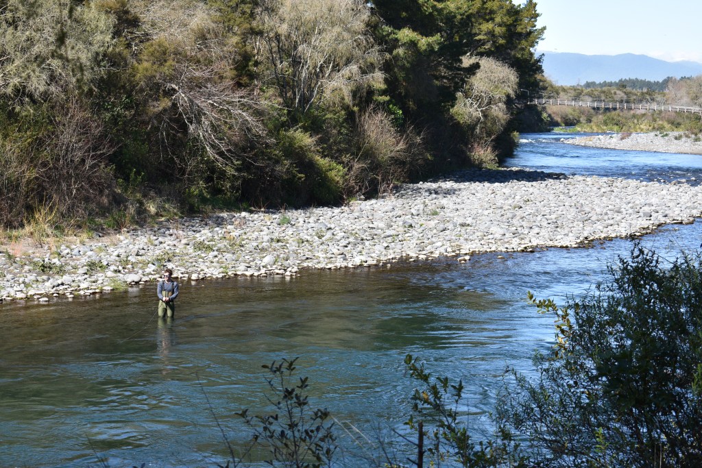
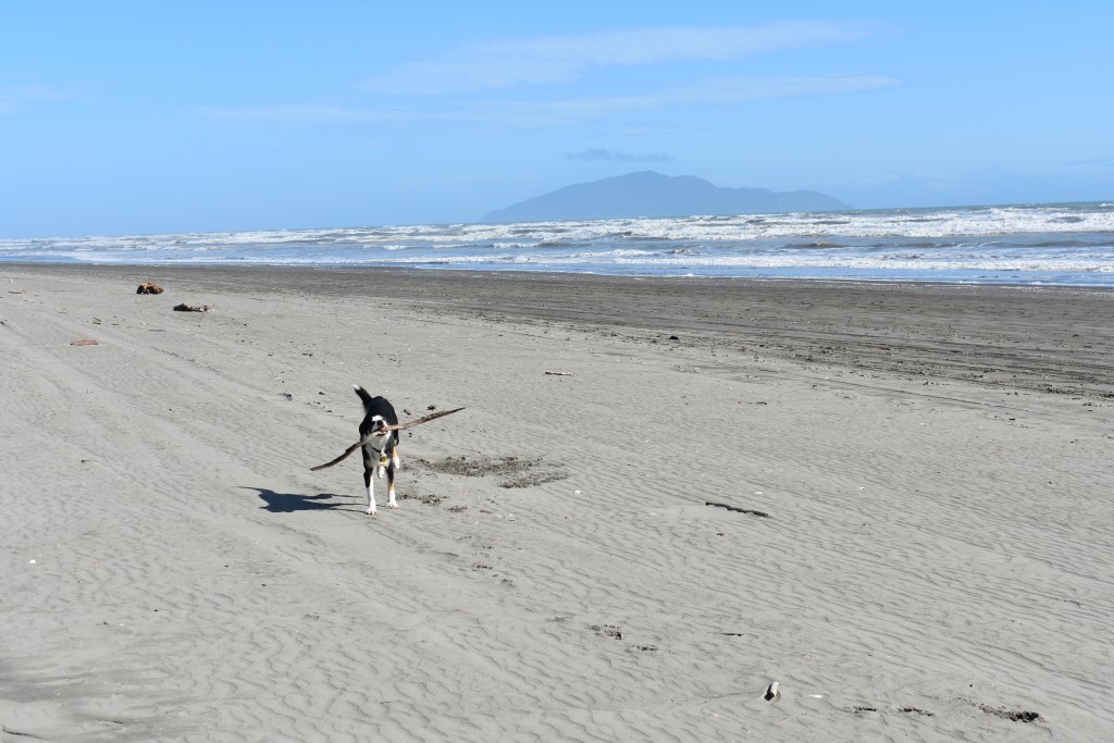
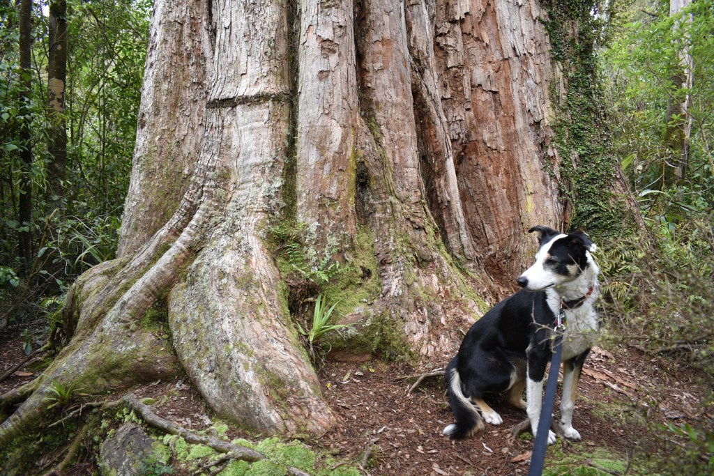
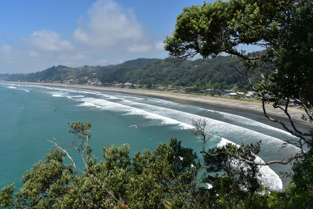
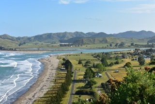
I decided to walk in a westerly direction from about the middle of the beach right to the end, known as West End, surprisingly! On the way more people came to the beach, some with dogs, the odd surfer (not big waves today so good for novices I imagine), couples and friends just enjoying a stroll in the lovely warm weather. I came across a couple (Kerry – male and Lea – female) with a machine called a fish harvester that was letting out a length of fishing line. I stopped to ask them about it. They told me the line went out electronically and had been set to unroll for 20 minutes. NZ law allows no more than 25 hooks with bait and they’re allowed 8 fish each, so if they caught any more they’d have to put them back. Once the 20 minutes was up they were leaving it for an hour while they went back to their house, overlooking the beach, for dinner and would return to reel it in and see what they’d caught. I told them I’d be interested to see and they invited me to call on them at their home and suggested I might even get a glass of wine. I left them and decided I would take them up on their offer.
The end of the beach was further than it looked and my return walk was over 3 hours. I called at Kerry and Lea’s house and they’d only just got in with the fish, just 2 snapper but quite large and each one enough for two meals for two. I was offered a cup of tea (not wine!) and sat chatting with them in their lounge with huge picture windows overlooking the beach. I was only there for about half an hour as got the impression they wanted to watch ‘Doc Martin’ which had been paused on their large TV, and Kerry kindly offered to drive me ‘home’ as I was still 2.5 kms away and it was dark.

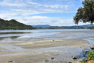
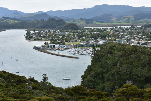
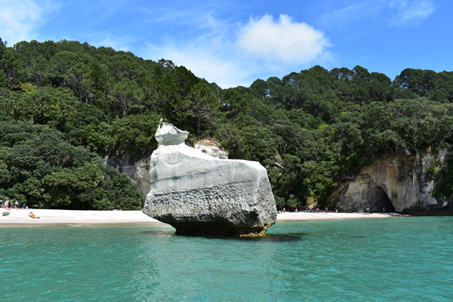
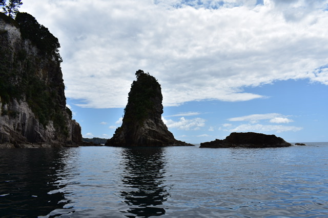
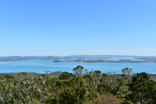
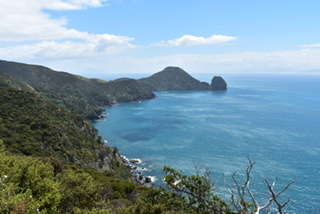
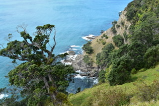
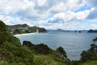
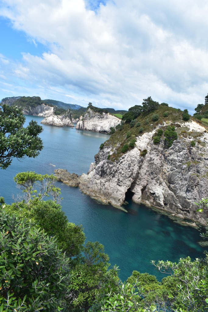
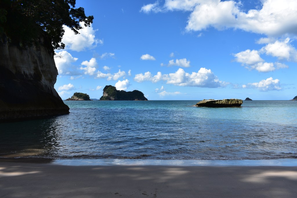
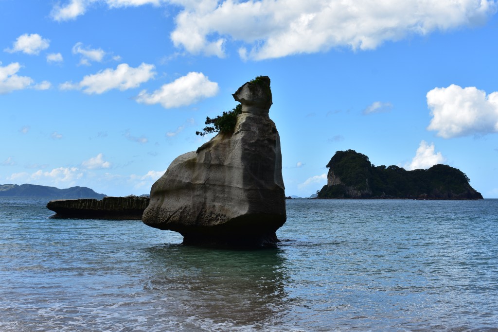
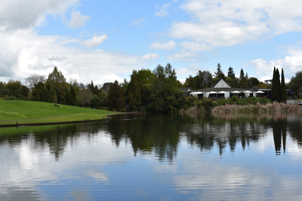
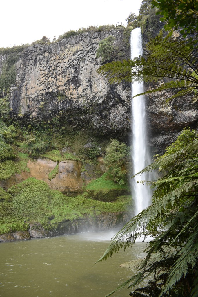
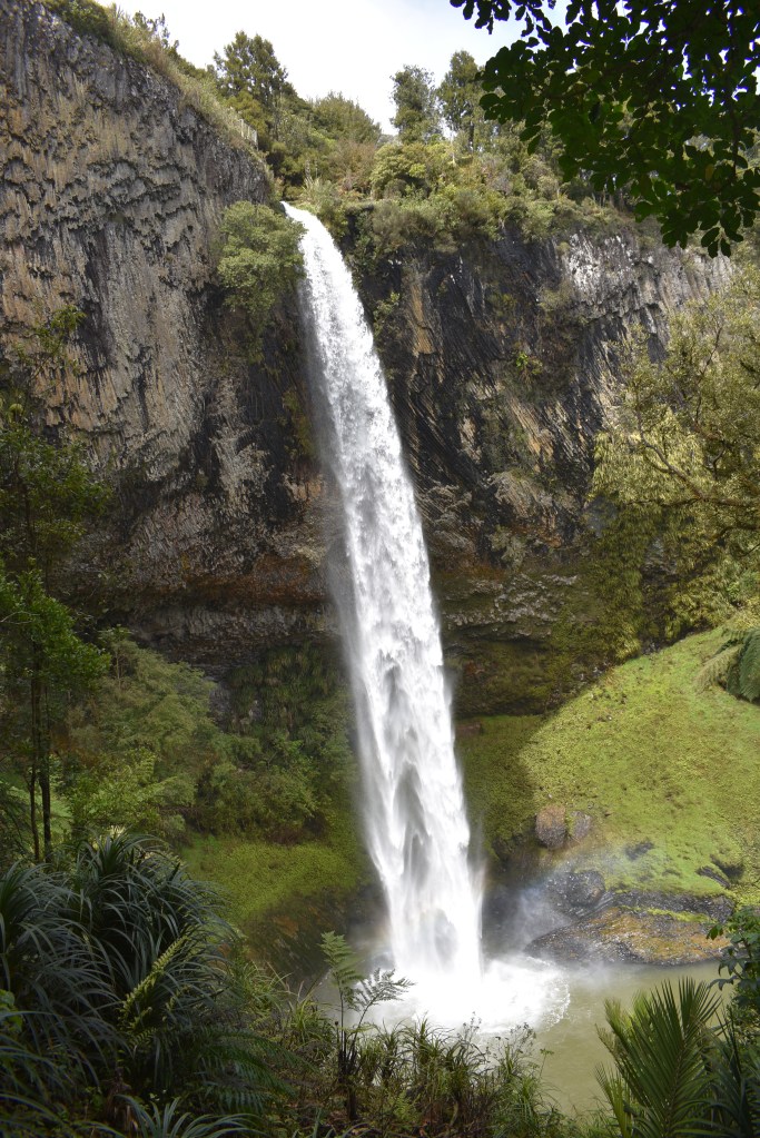
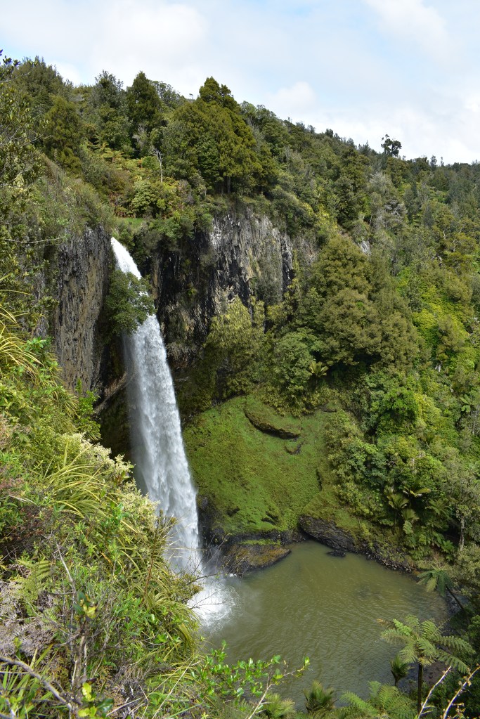
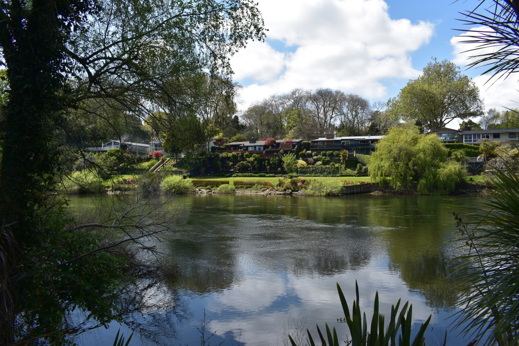
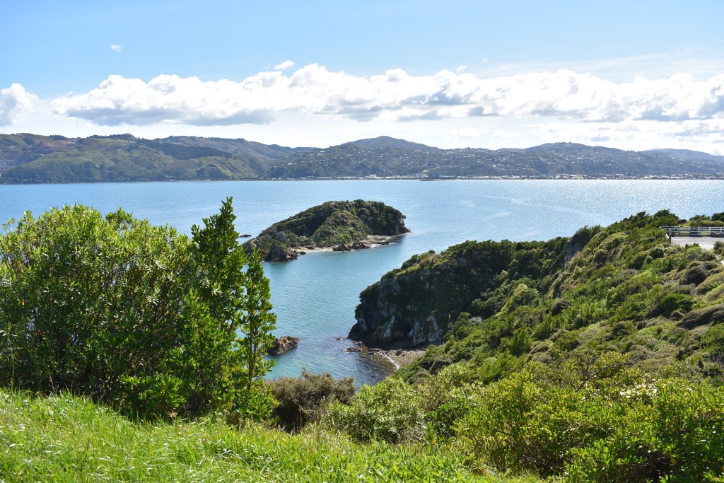
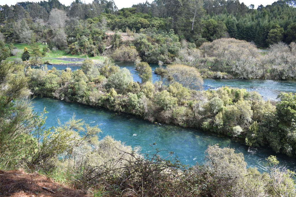
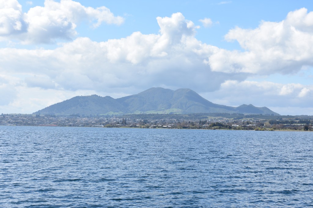
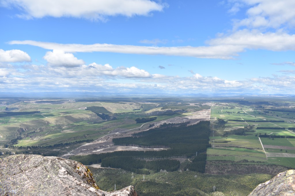
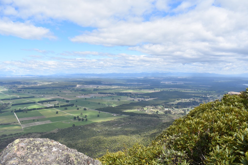
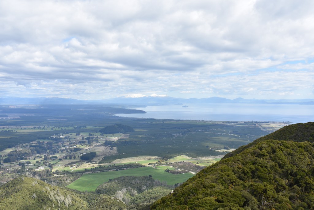
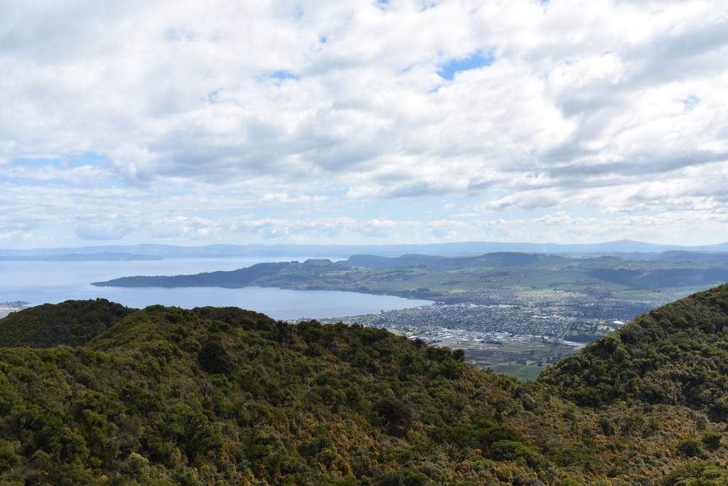
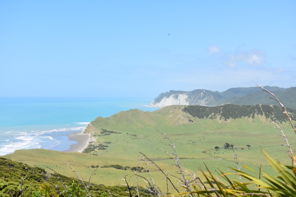
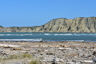
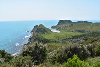
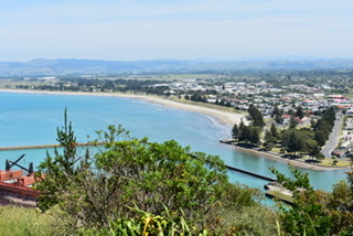
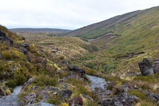
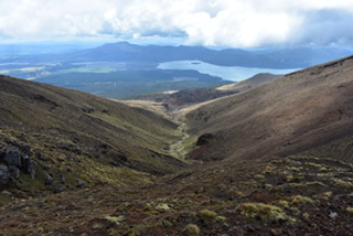
Ohope beach looking east 
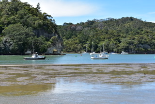
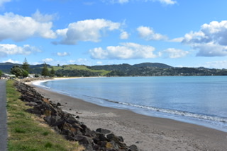
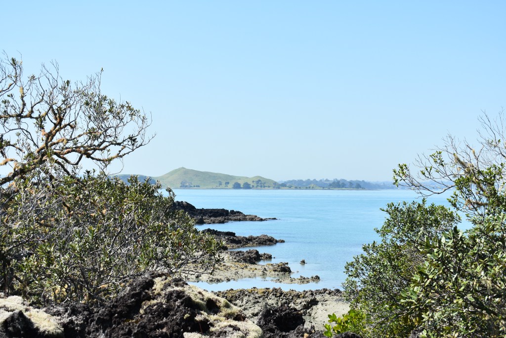
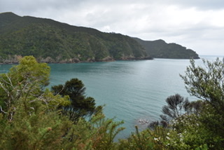
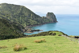
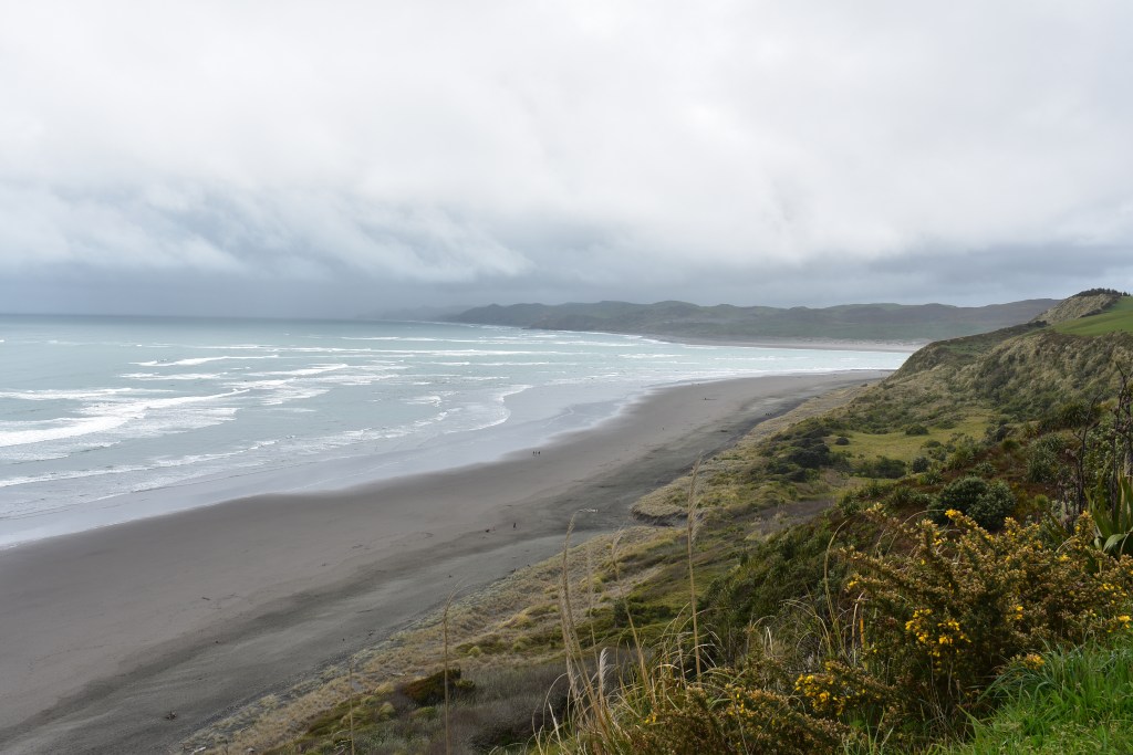
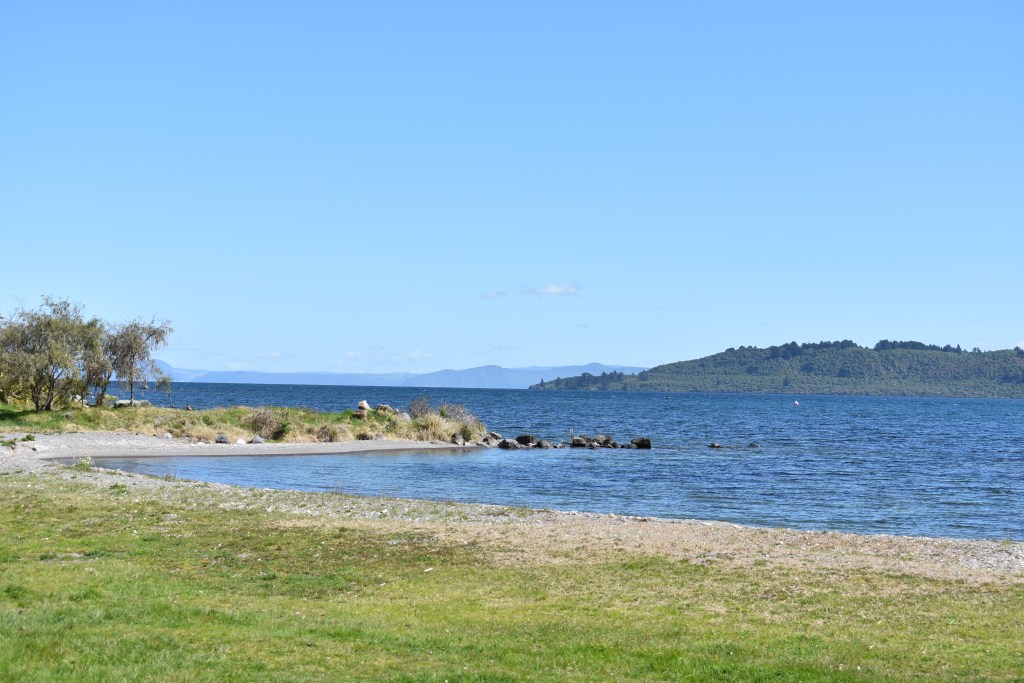
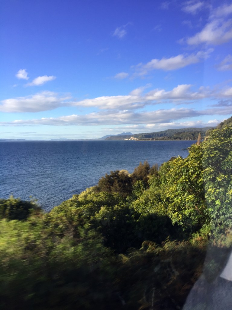
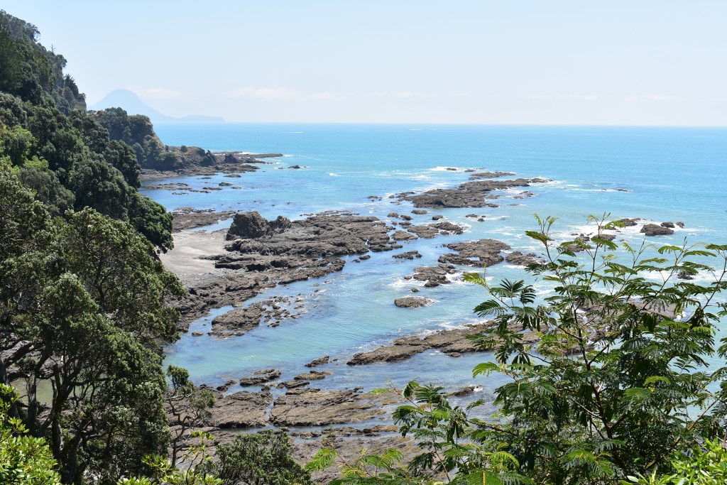
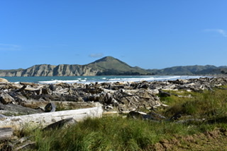
West Ohope beach & Whale Island 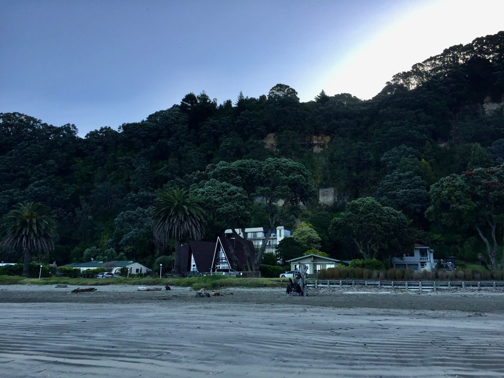
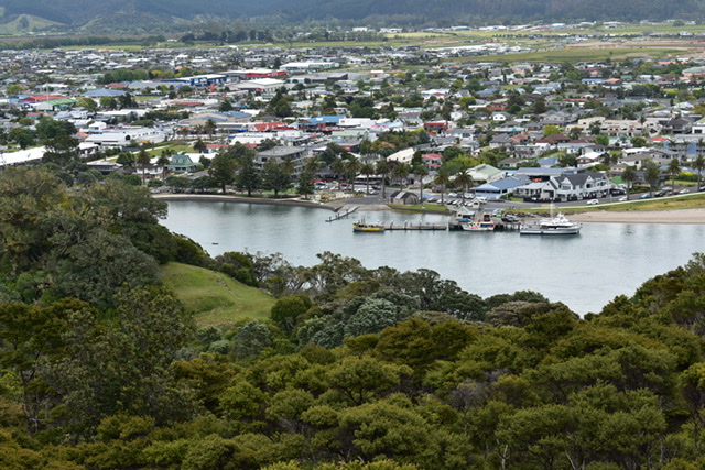
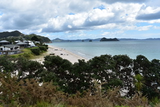
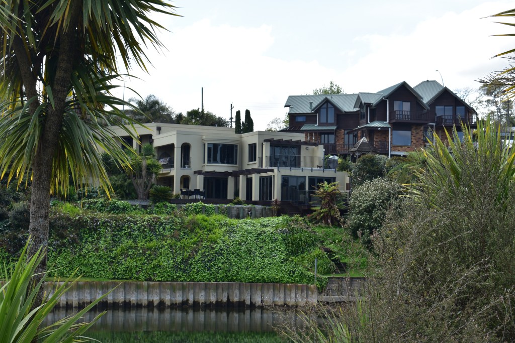
Lovely holiday homes 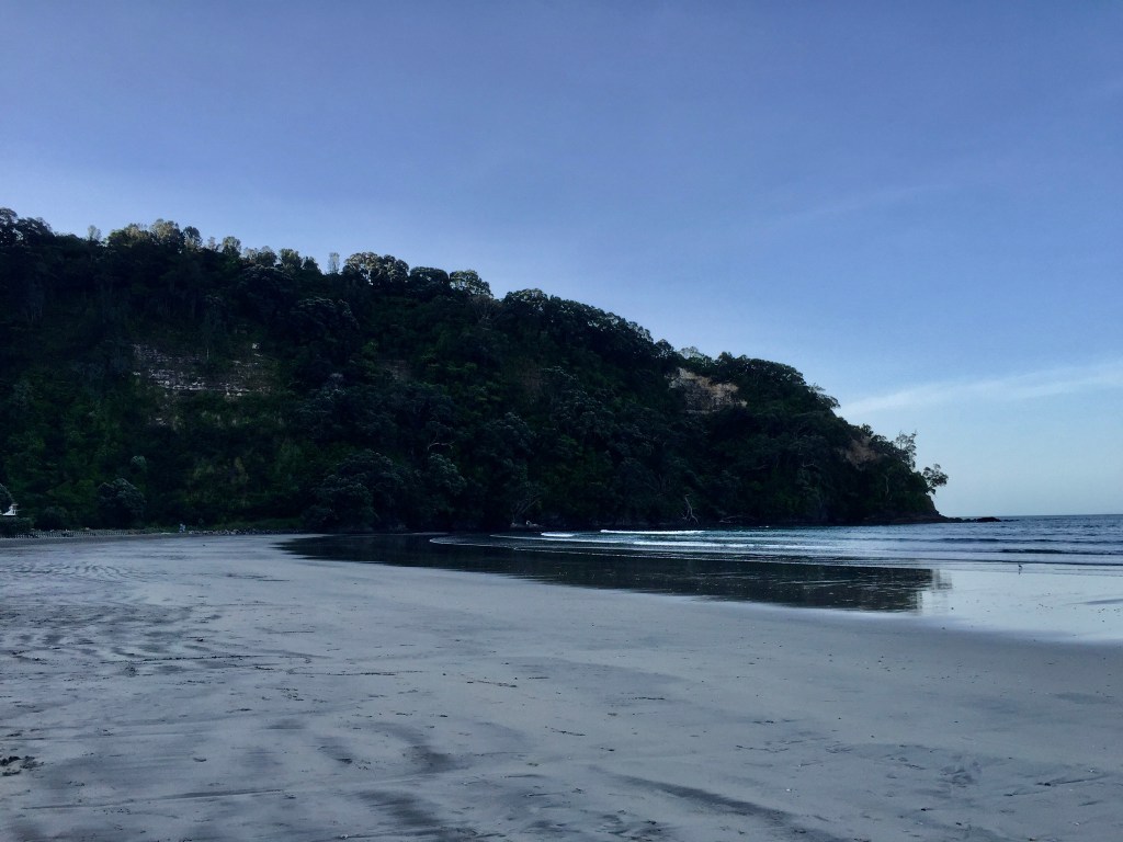
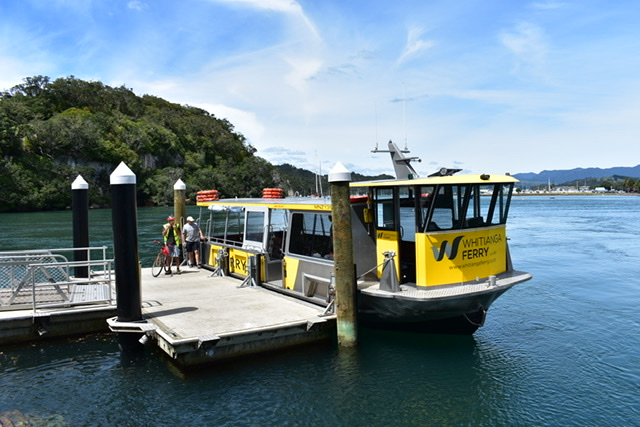
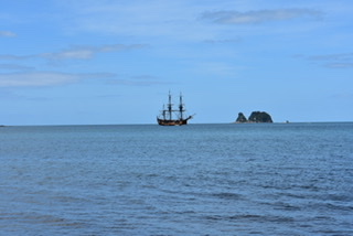
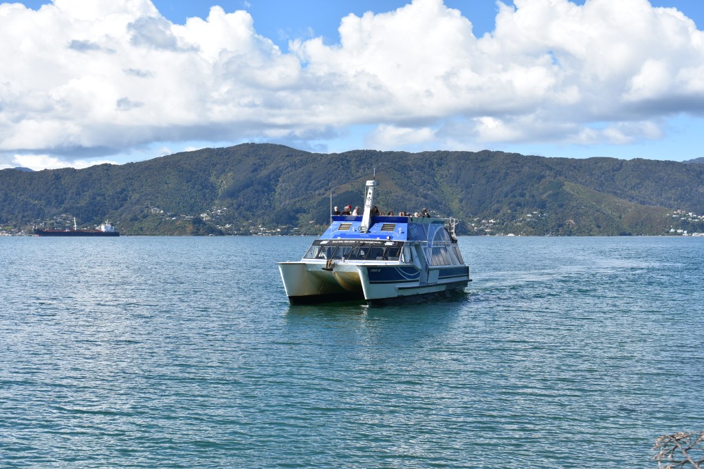
I’d booked a boat trip to White Island starting at 1pm on Saturday 23rd. This had been recommended by a lot of people so I thought I’d better go. It wasn’t cheap but it turned out to be well worth it. While waiting for the boat I had a cup of tea at the tour company’s cafe and noticed a nice man sitting on his own. I smiled at him but decided not to sit near him as he was smoking. While waiting for the boat I sat on a wall near a young woman who was reading avidly and asked her what the book was, which then got us in conversation. Her name was Kim and she was from the Netherlands. Of course her English was perfect. She told me she and her boyfriend (a few years younger than her) were travelling for 5 months, had bought a 7 seater car for $1600, had taken 2 of the seats out and slept in it. I thought this very resourceful but personally didn’t fancy the idea of sleeping in a car. They’d bought curtains and towels from opp shops.
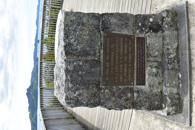
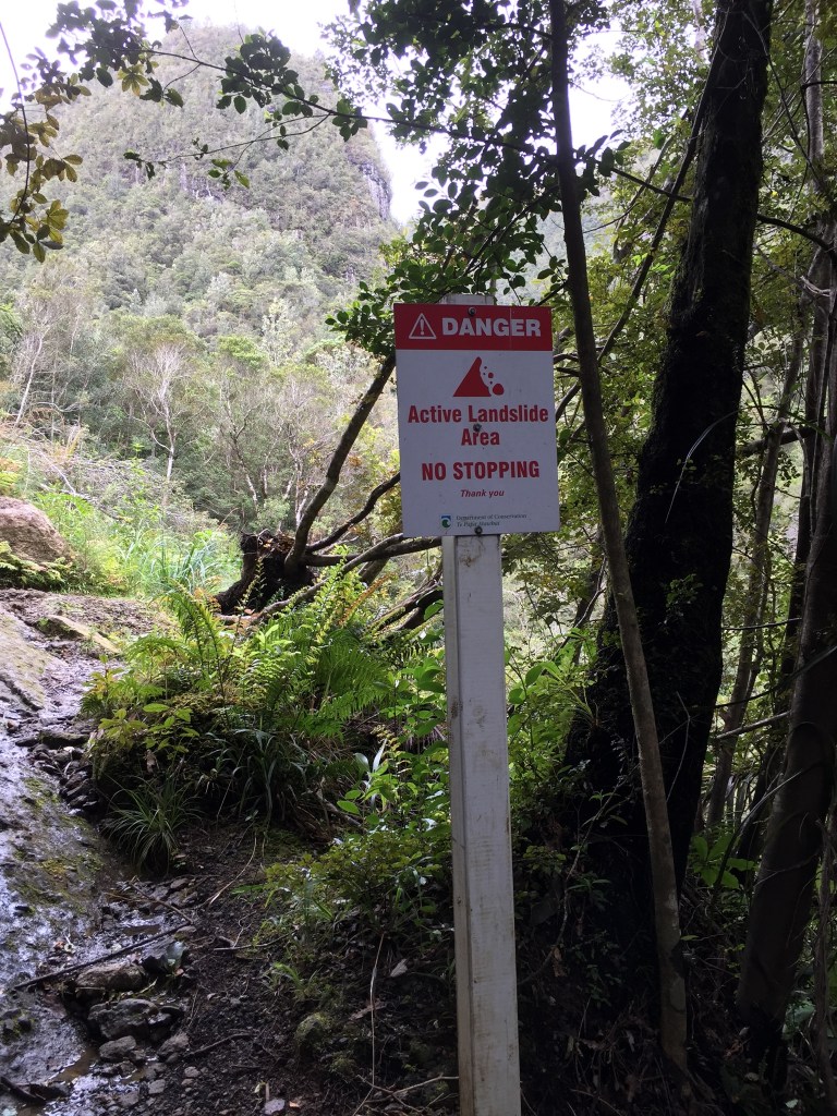
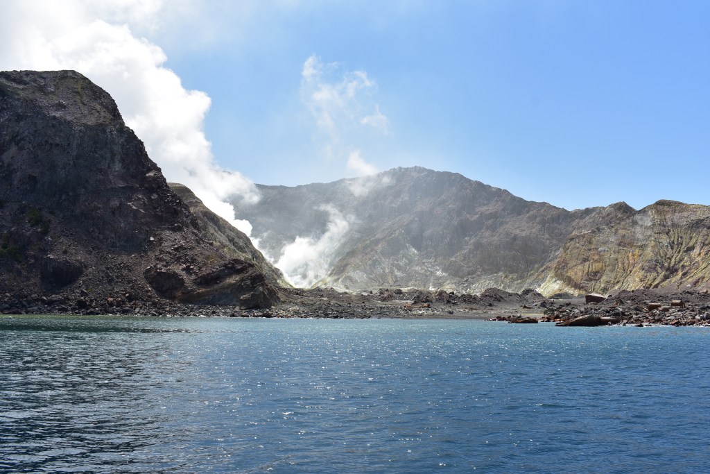
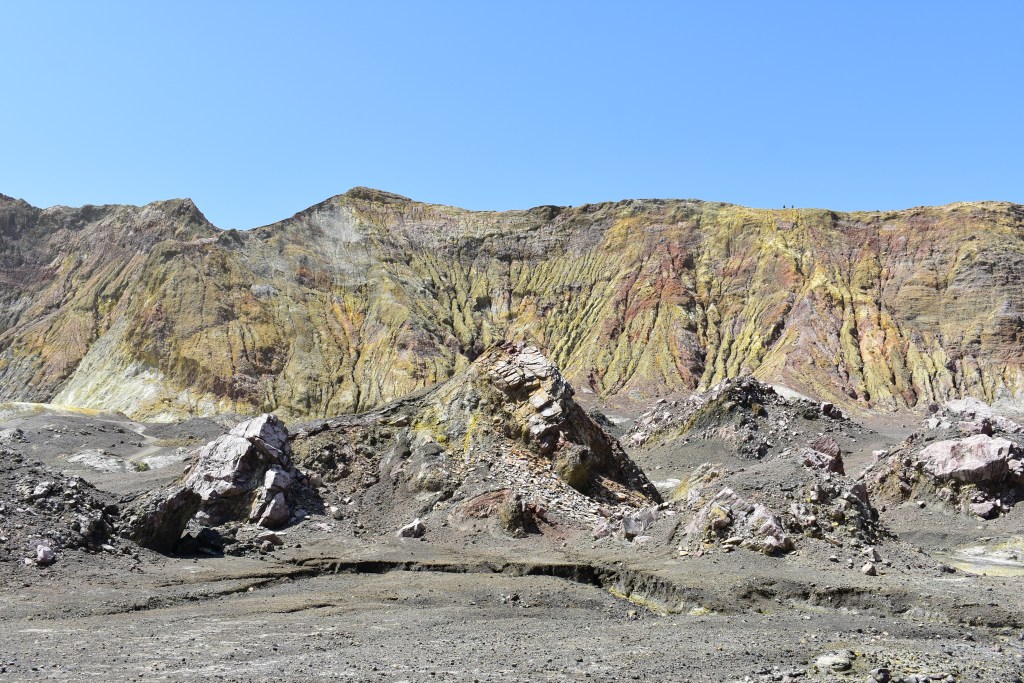
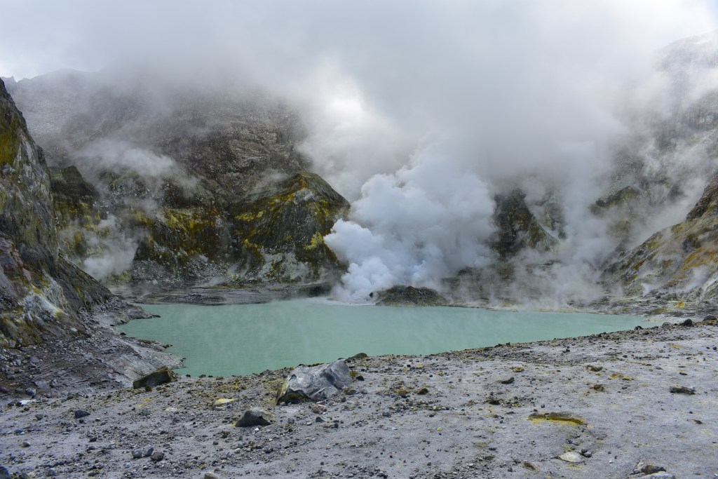
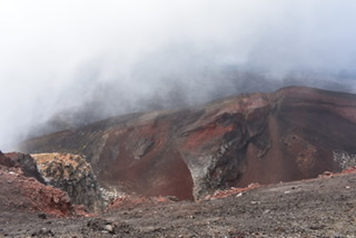
White Island (Whakaari in Maori) is NZ’s only active volcano and is situated 49 kms off the coast of Whakatane. The island is estimated to be between 150,000 and 200,000 years old and originally formed from 3 separate volcanic cones. On checking in for my tour I was told the volcano’s alert level had just recently increased from 1 to 2, meaning it was ‘in a moderate to heightened state of unrest with the potential for eruption hazards and an increased risk to visitors’ and signed a form that I understood the risk involved. Yikes!
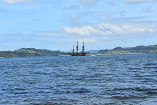
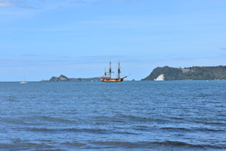
Our boat was one of four owned by the company (White Island Tours) and very nice too. I sat with Kim and we chatted for the whole of the 60 minute journey. She said her boyfriend had been nervous about going to the island when he heard it was an active volcano and was doing the walk I plan to do on Sunday instead. The crew were quite young, apart from the Captain, and very entertaining. The Captain said we might see dolphins or whales as they had on a recent trip out, but, sadly, we didn’t.
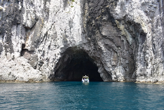
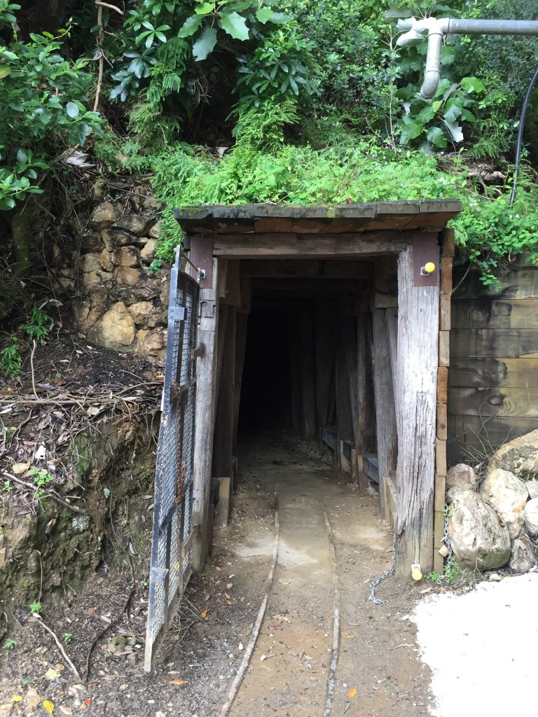
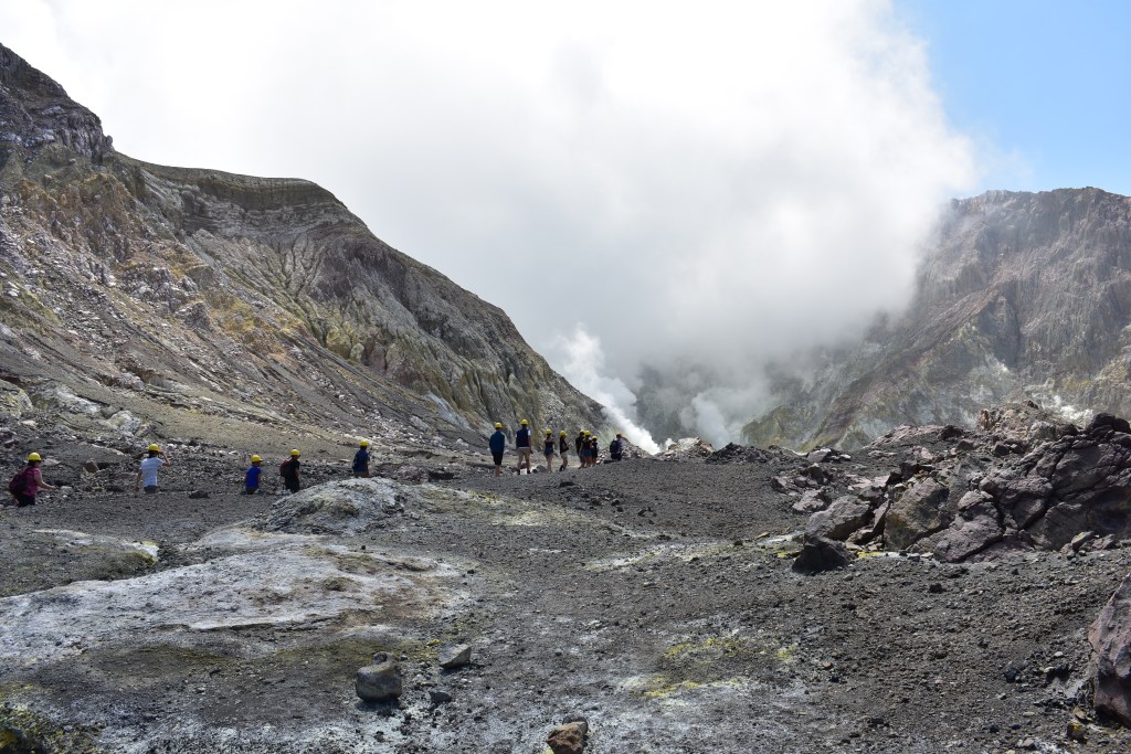
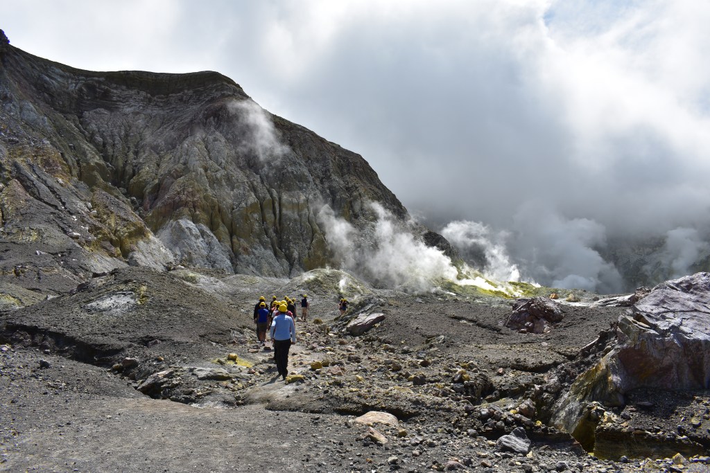
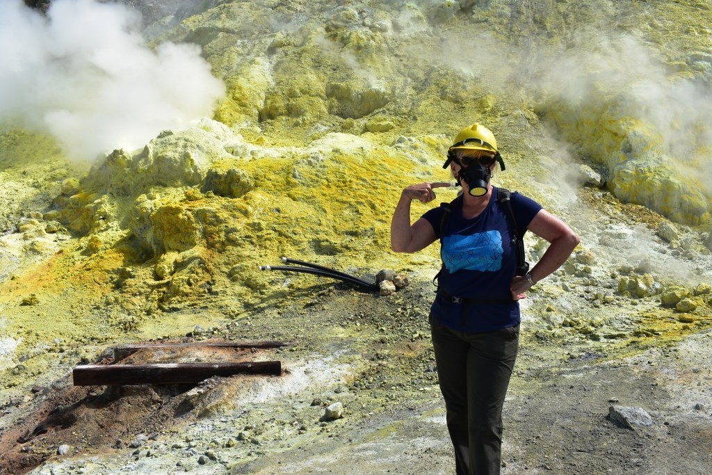
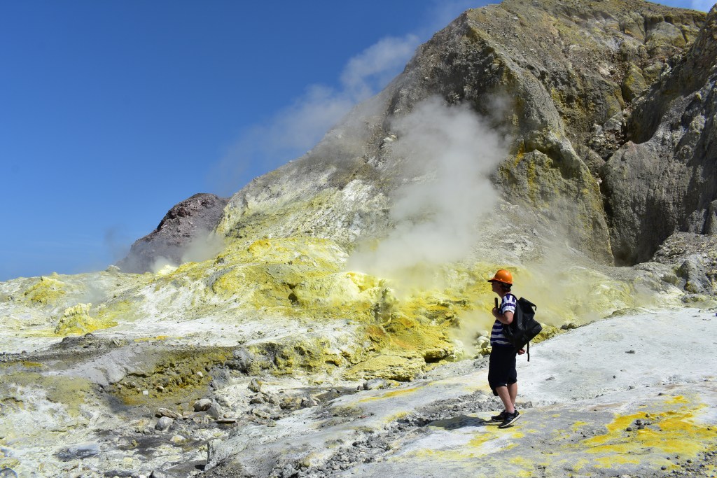
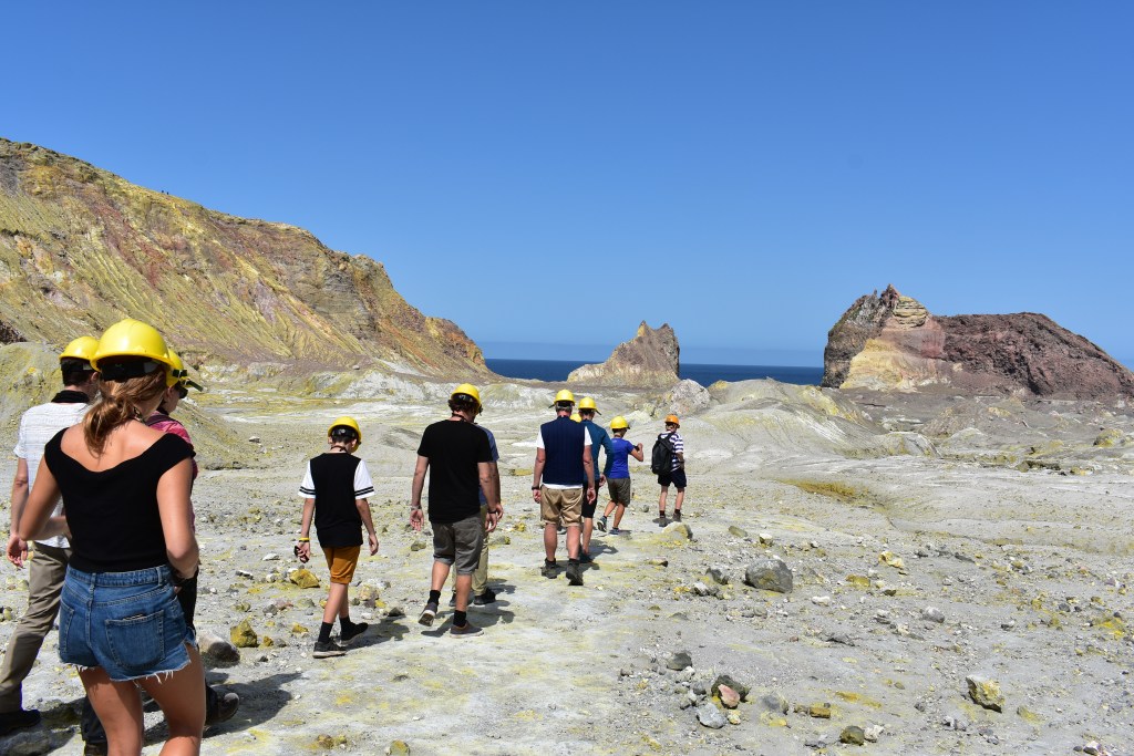
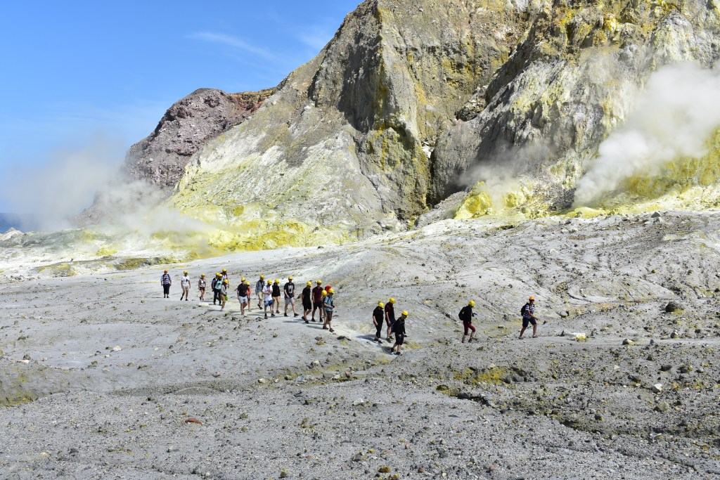
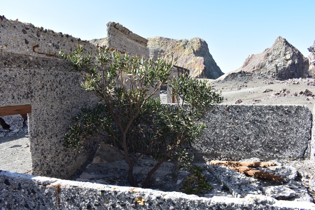
On arriving at the island we were all given a life jacket, hard yellow hat and gas mask and ferried in groups in a dinghy to the jetty. We spent about an hour or so being guided around a small part of the island and told to use our masks when necessary. It was amazing to see the steam and smell the sulphur. There were the remains of a factory and walls of buildings that housed men who had worked on the island collecting the sulphur, between 1923 and 1933. Apparently these men earnt twice as much as the gold miners in Waihi. Despite the harsh conditions there’s a thriving gannet colony and I was surprised to see grass and trees in places. We were told to wear the gas mask as the sulphur could make us cough and give us sore throats and that constant saliva also helped, so we were offered boiled sweets to increase our saliva! We all managed to get off the island without incident.
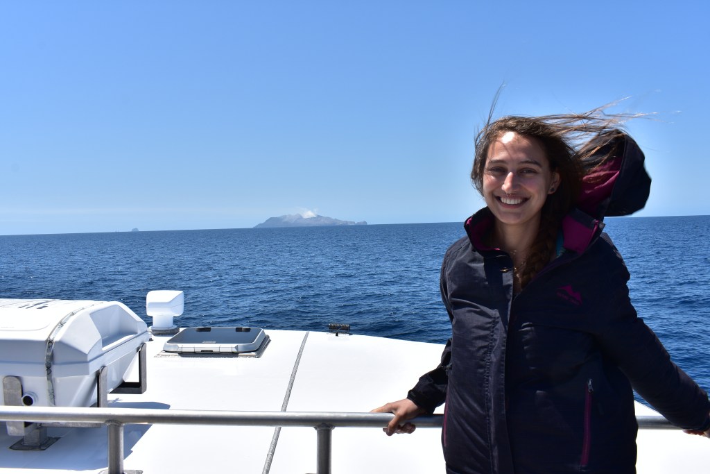
Kim 
White Island 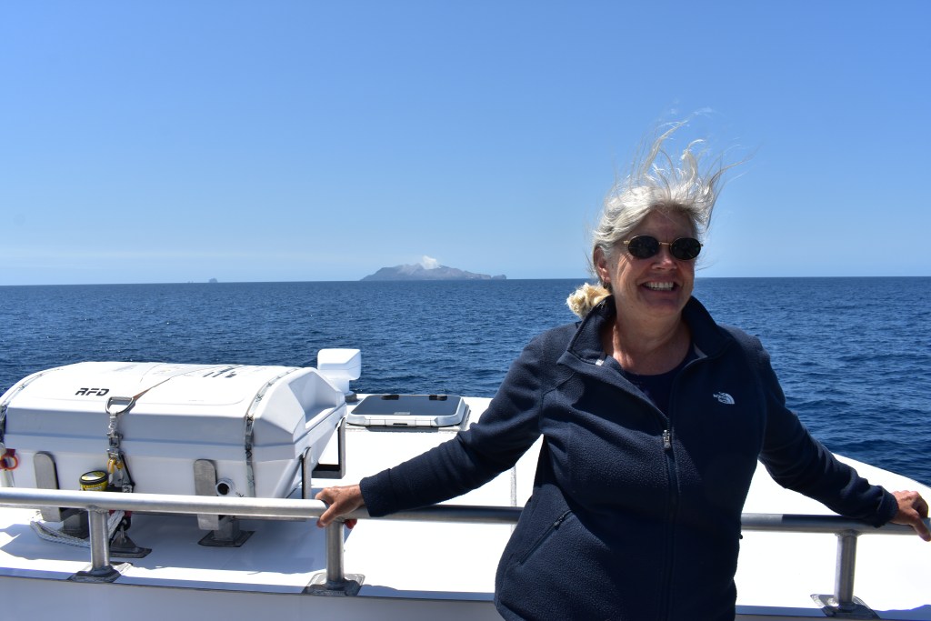


Our boat 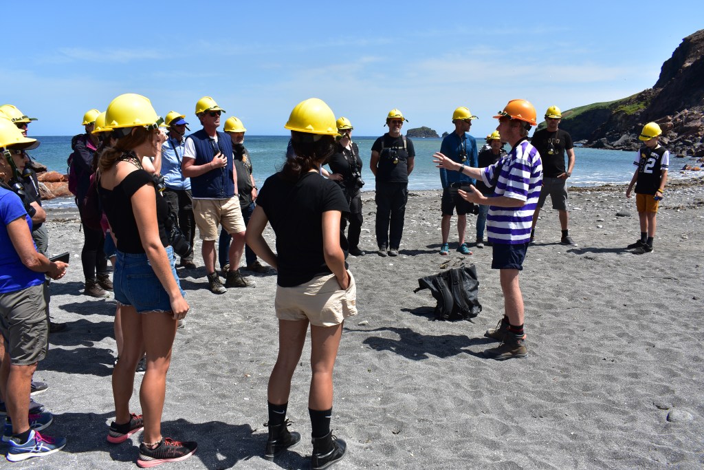
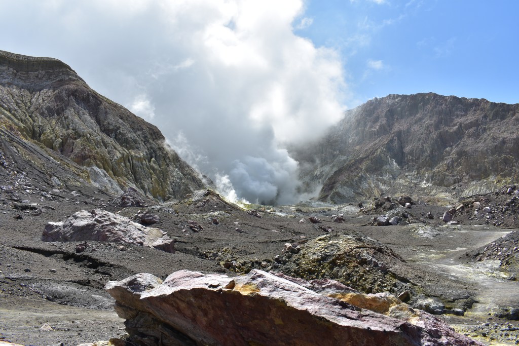
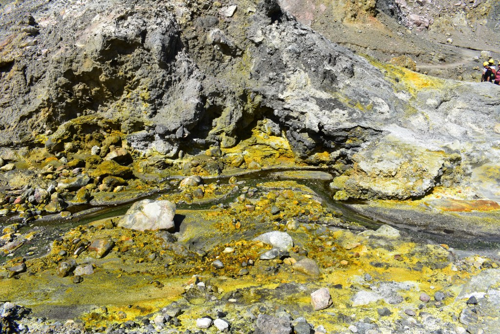
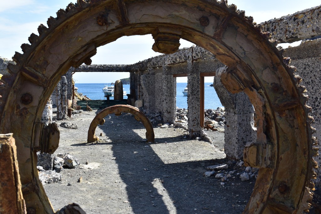
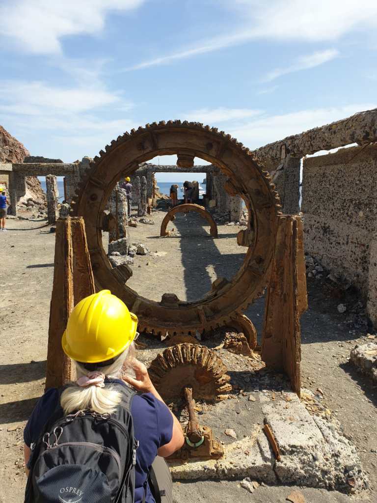
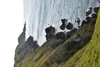
Remains of sulphur factory
On the way there we’d been told to stay seated inside the boat but could sit on deck on the return journey which Kim and I did, sitting near the man I’d spied earlier in the cafe. I asked him where he was from and he said Copenhagen. He was married (just my luck!) with four children but had recently had some kind of problem and needed to get away. He was travelling for a total of 13 weeks and his wife had recently joined him for 2 of those, although that hadn’t been part of the original plan. He said it had gone well and the trip had done him a lot of good.
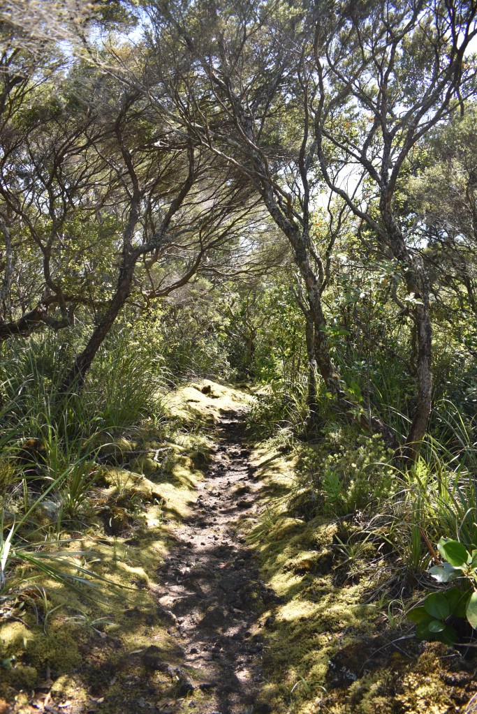
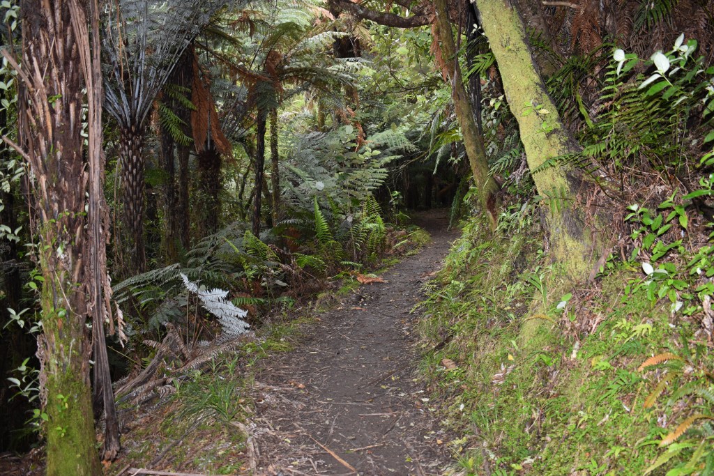
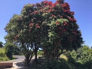
In the early hours of Sunday (about 0530) I was woken by two locked doors (that lead off the garage) in my room shuddering for a few seconds and thought it was the young owners above getting amorous! I thought no more of this in incident and later drove to Whakatane parking the car near the start of the big circular walk (Nga Tapuwae o Toi, meaning ‘The footsteps of Toi’) I’d decided to do. Kim texted me to say it had taken her boyfriend 5 and a half hours to walk it yesterday, including a lunch break. A lot of the walks in NZ have Maori names and are historic, often in the area where Maori used to live, this one being no exception. It includes pā (hillfort) sites of major historical significance, superb native forest with spectacular pōhutukawa trees (known as NZ Christmas trees) fabulous coastal views, beaches and an abundance of birdlife.
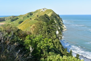
Ngā Tapuwae o Toi (The footsteps of Toi) is aptly named as it traverses the heart of what was once the great chieftain Toi’s dominion. His stronghold, Kapu-te-Rangi (Pā of Gentle Breezes), is one of the oldest known pā sites in the country and is a highlight of the Kōhī Point portion of the walkway.
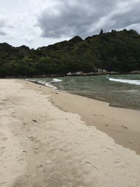
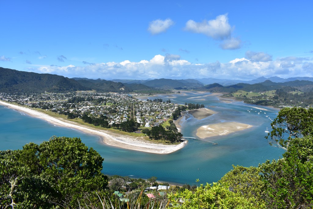
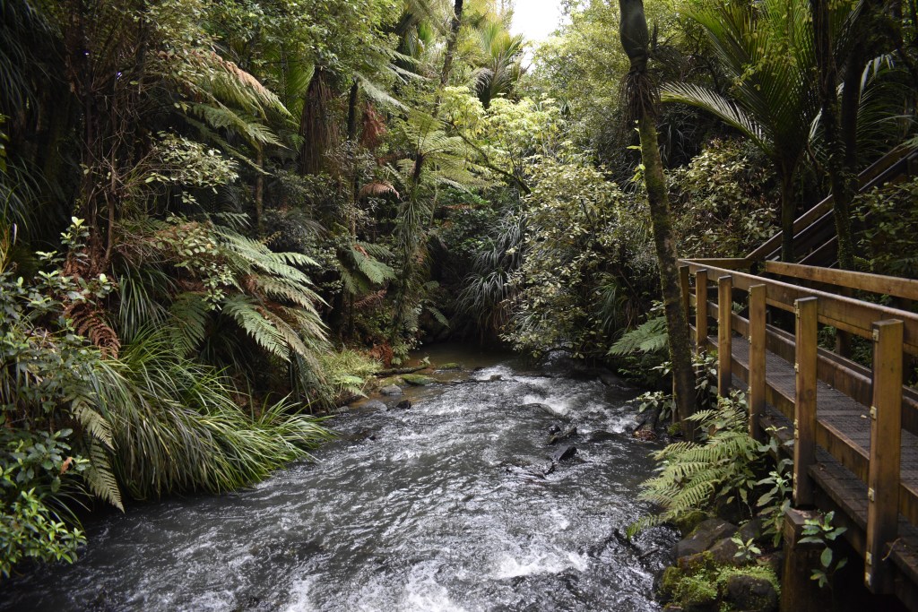
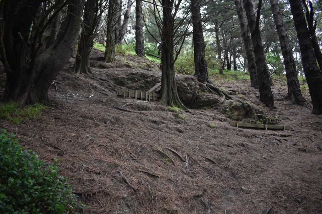
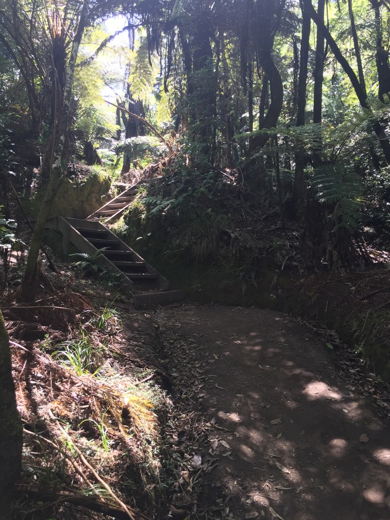
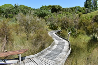
I started the walk through forest, steadily climbing and passing through the important Pa site, then walking along the clifftops with superb coastal views. After rounding the headland there were lots of steps down to Ottarawairere Bay. I only read while doing the walk that this wasn’t accessible during high tide, fortunately it was low tide otherwise I’d have had to retrace my steps, which would have been disappointing. The walk continued across the beach and then up lots of steps and down steps the other side to arrive at the West end of Ohope beach. It was about a 30 minute walk along the beach to then cross the road to Ohope Scenic Reserve. The walk went through forest and then through some private land (where I crossed my first NZ stiles). There were some steep sections and it ended at the bottom of a gorge (although that wasn’t obvious) then walking along the road to get to my car. I really enjoyed the walk and thought it was putting some mileage in my legs in readiness for the big one (Tongariro Crossing if I do it). It had taken me 6 hours,which included lunch and getting slightly lost twice, and I was tired at the end.
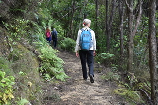
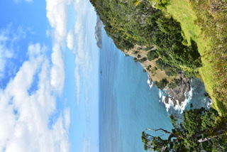
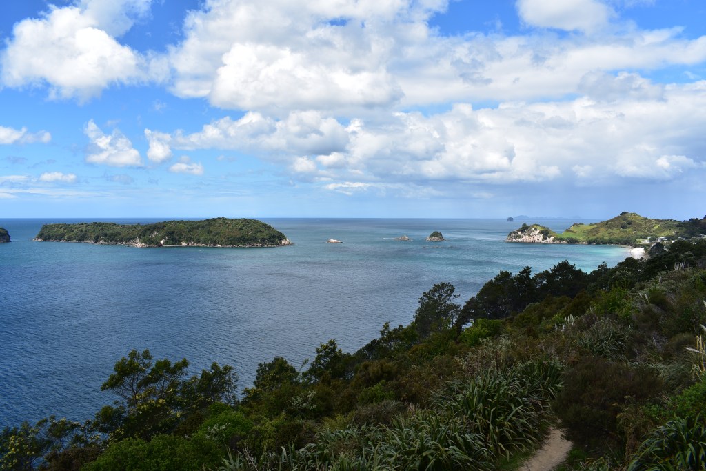
Views during the walk:

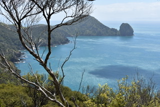
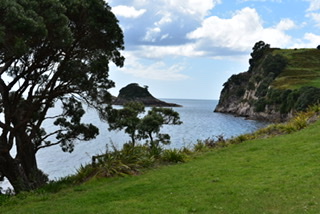
Ottarawairere Bay 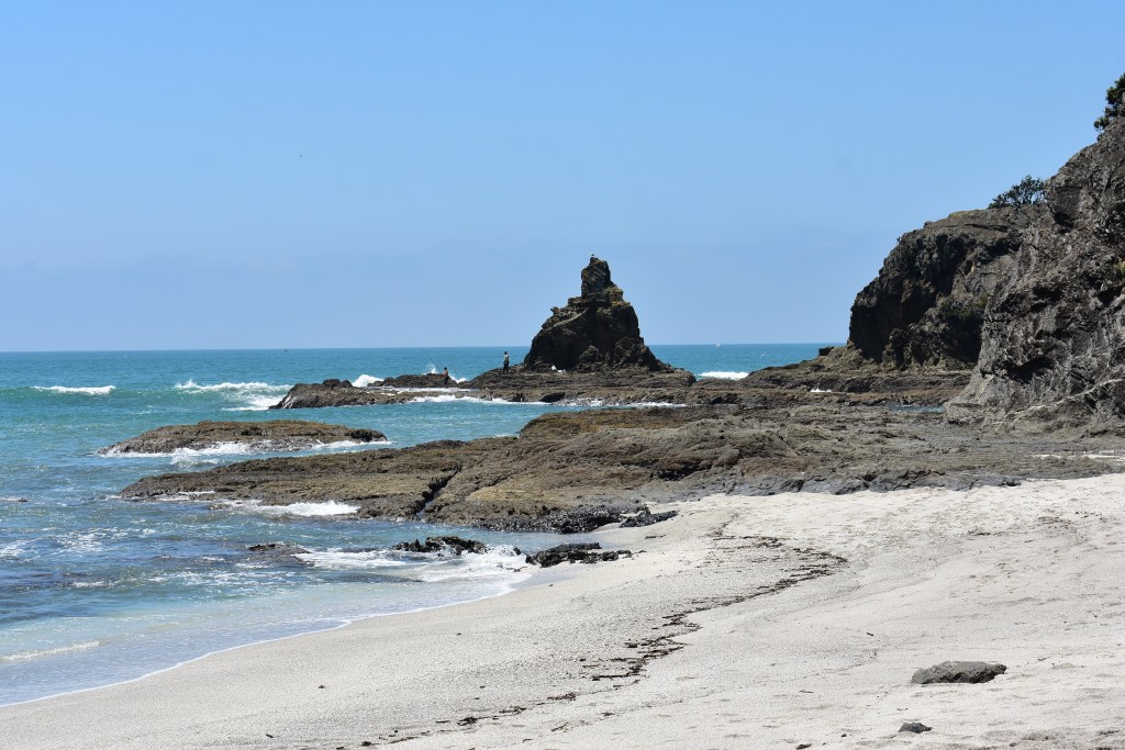
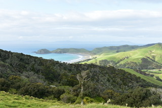
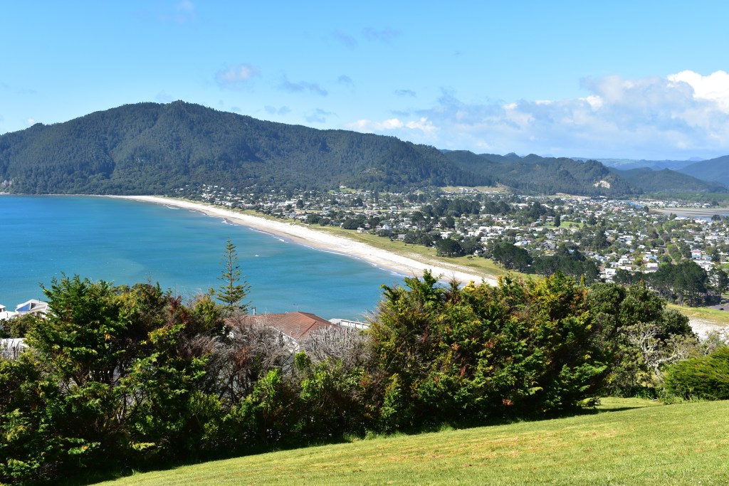
Ohope Beach from headland 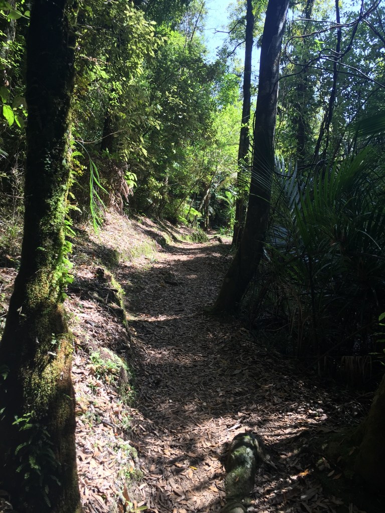
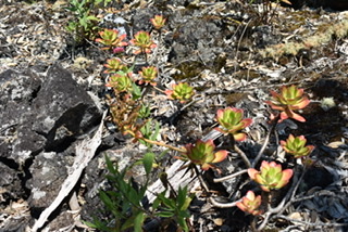
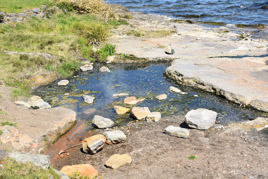
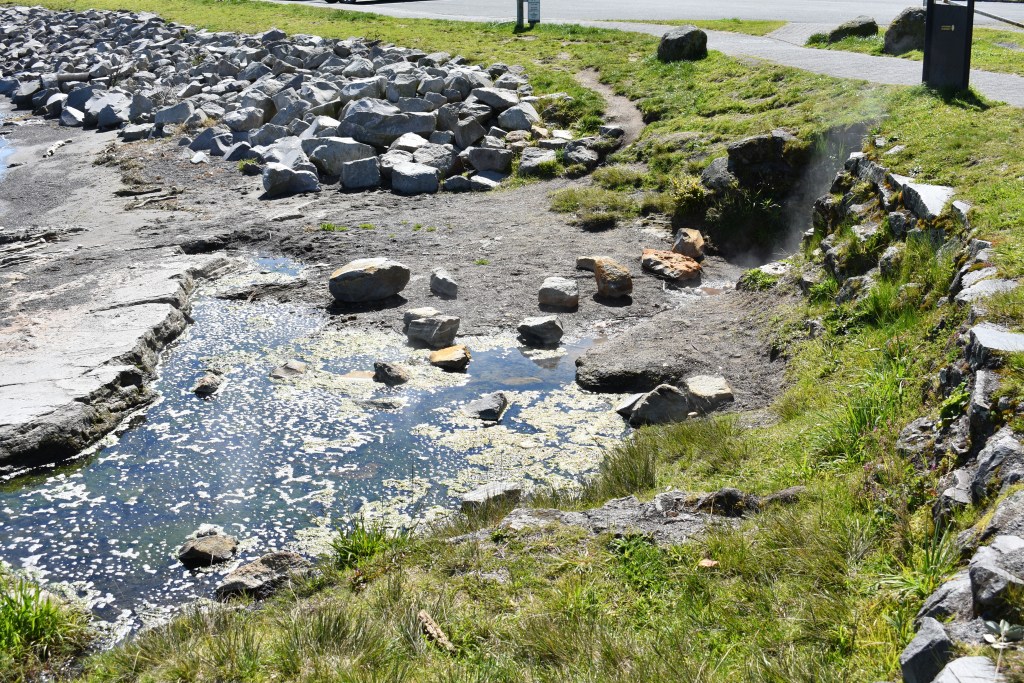
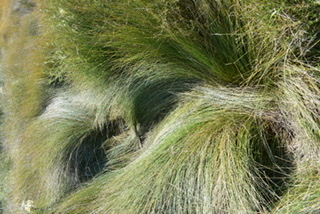
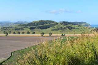
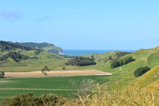
I reluctantly left my little studio in Ohope Beach on Monday morning (25th). It was going to be a hot day. Not long after leaving I saw a brown sign to the Nukuhau Saltmarsh so thought I’d stop as was in no rush. Apparently a saltmarsh helps to keep a harbour clean and this one is of national significance, providing habitat for secretive marsh birds such as the fern bird (Matata) which I could hear but couldn’t see. There was a variety of rushes and flax:
Jointed Wire Rush 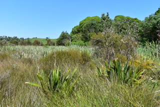
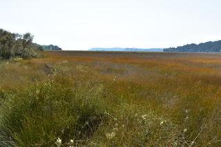
Nukuhau Saltmarsh
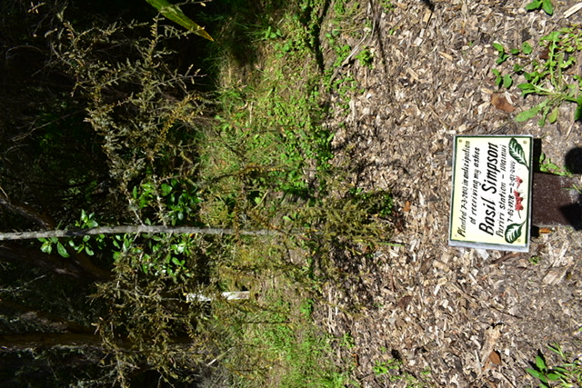
I thought this was a good idea of Basil Simpson’s to plant a tree in 2003 before he died in anticipation of having his ashes buried there when he finally died in 2008:
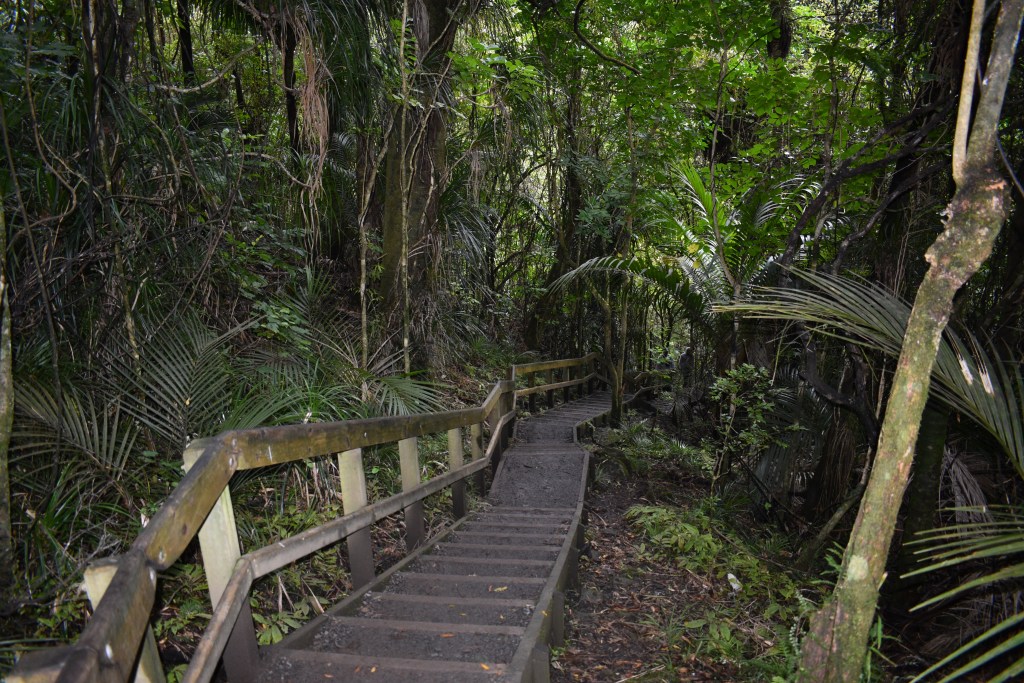
My next stop was Opotiki, just 36km from Ohope going East (as I’m travelling in an easterly direction around the East Cape. I stopped at the i-Site office and was told there was an interesting reserve, Hukutaia Domain, 8km away with a Maori burial tree, one of Opotiki’s main attractions. There was a track which took about 25 minutes to walk around through native bush with some ancient trees, varieties of fern and fungi. Like the Saltmatsh, volunteers care for it. It was set aside as a reserve in 1918 mainly to protect the burial tree. From 1930-1970 Norman Potts, a keen local amateur botanist, travelled throughout NZ to collect plants for Hukutaia whose work was continued through the 1970s to 1990 by Marc Heginbotham.
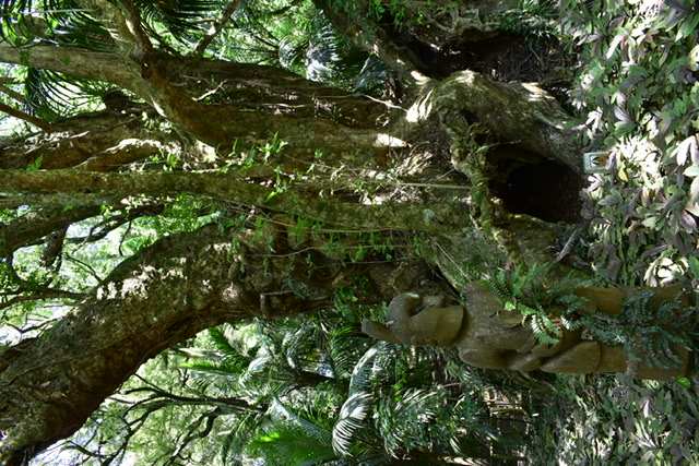
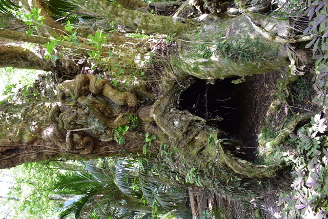
Burial trees are highly sacred to the Maori people. Exhuming bones of the distinguished dead was an ancient practice conducted in accordance with ritual. Sometimes slaves were sacrificed to add prestige to the occasion. The bones were scraped clean then painted with oxide of iron (ochre) and hidden in a cave or hollow tree where they would not be found by tribal enemies. If a person desecrated a burial tree (or cave) the offender’s death would follow. This particular burial tree is a puriri tree (hard and durable timber) is called Taketakerau and is guarded by two wooden statues.
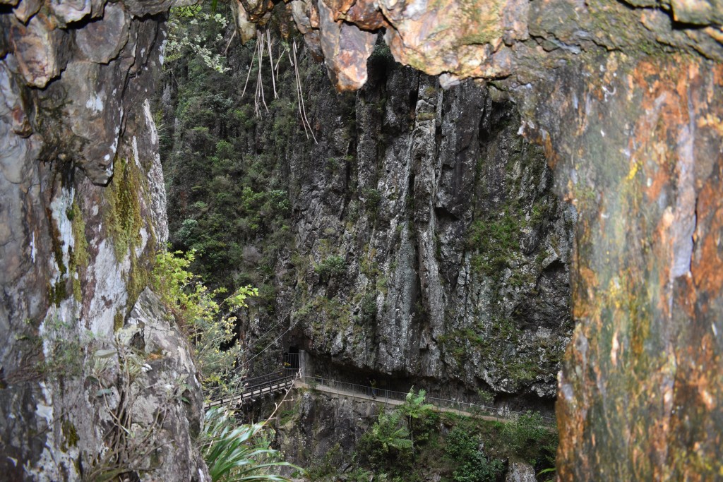
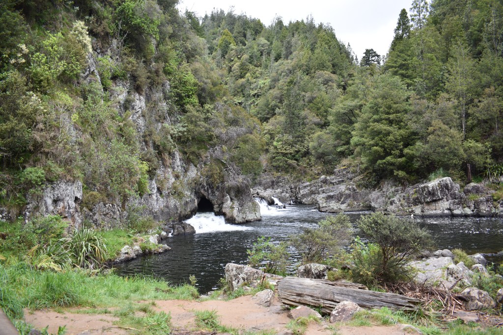
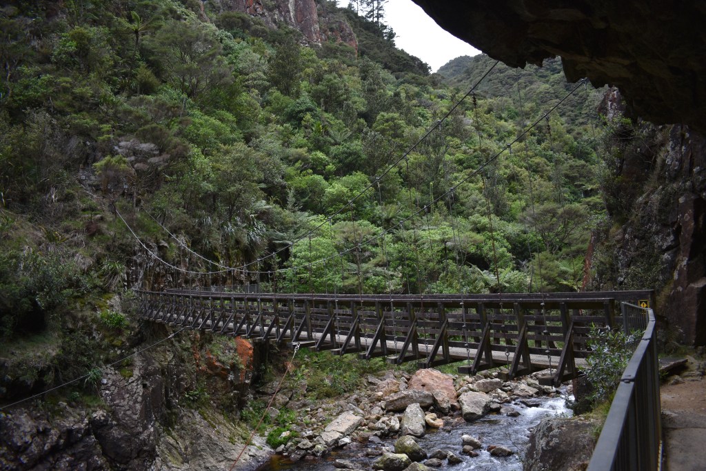
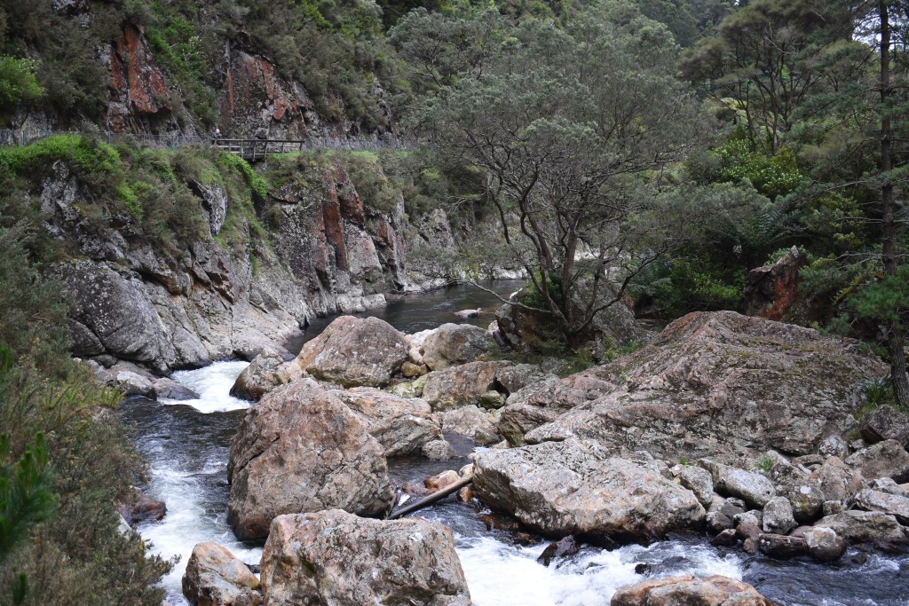
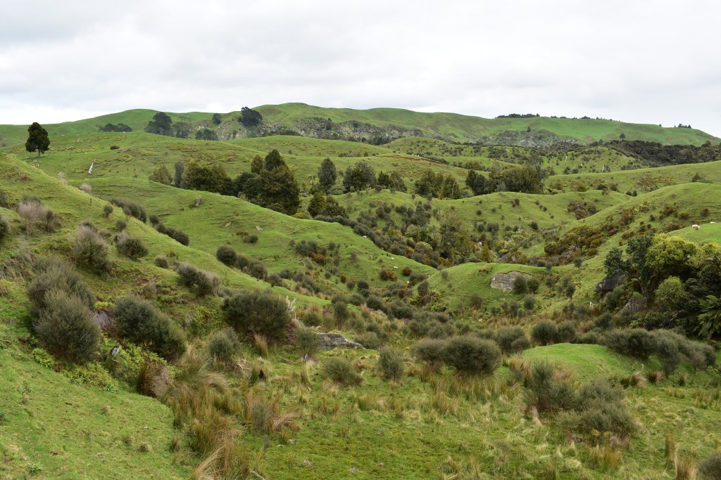
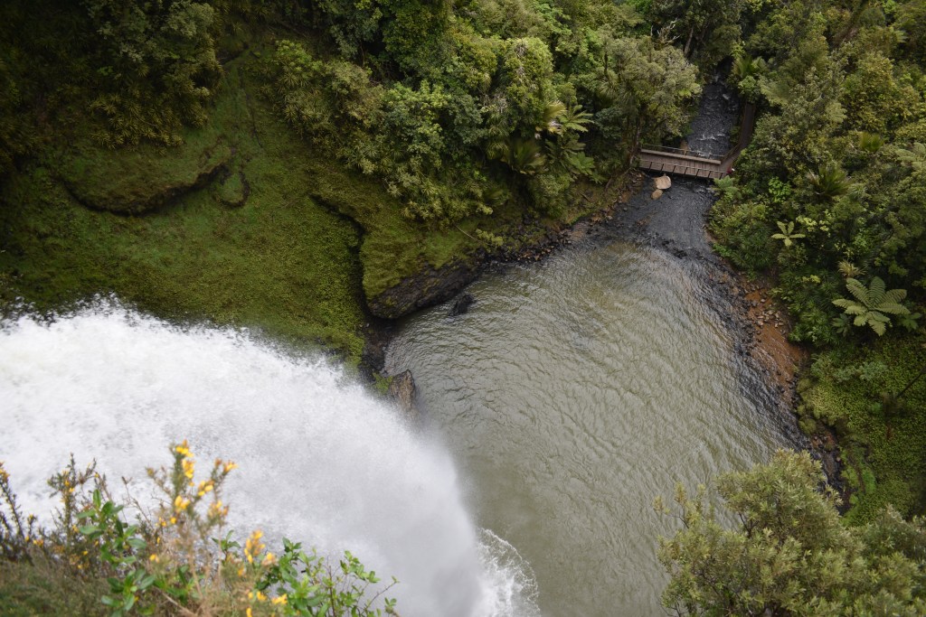
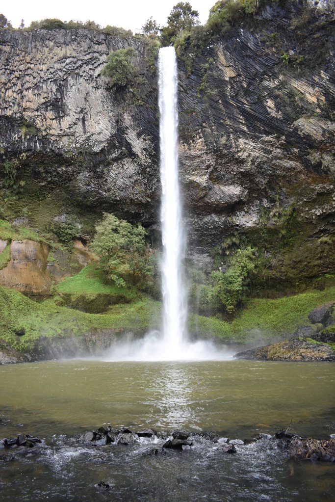
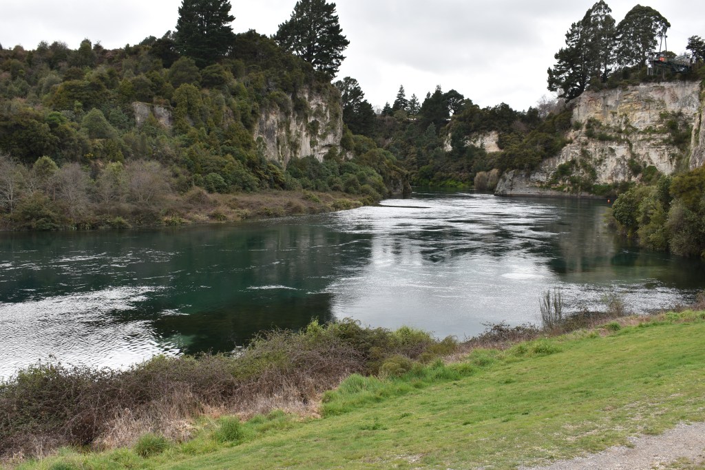
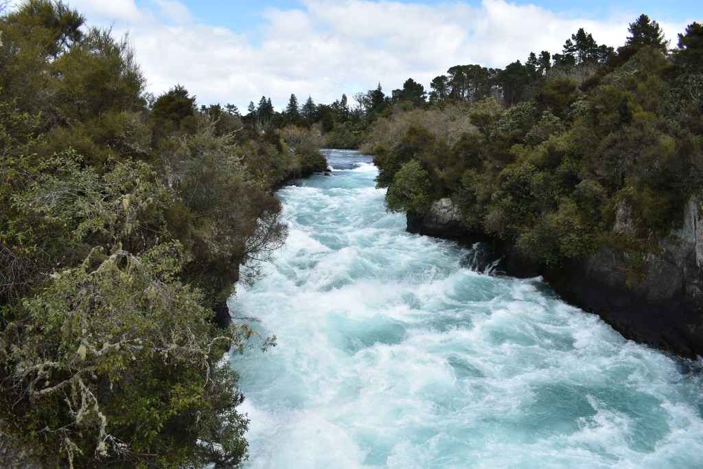
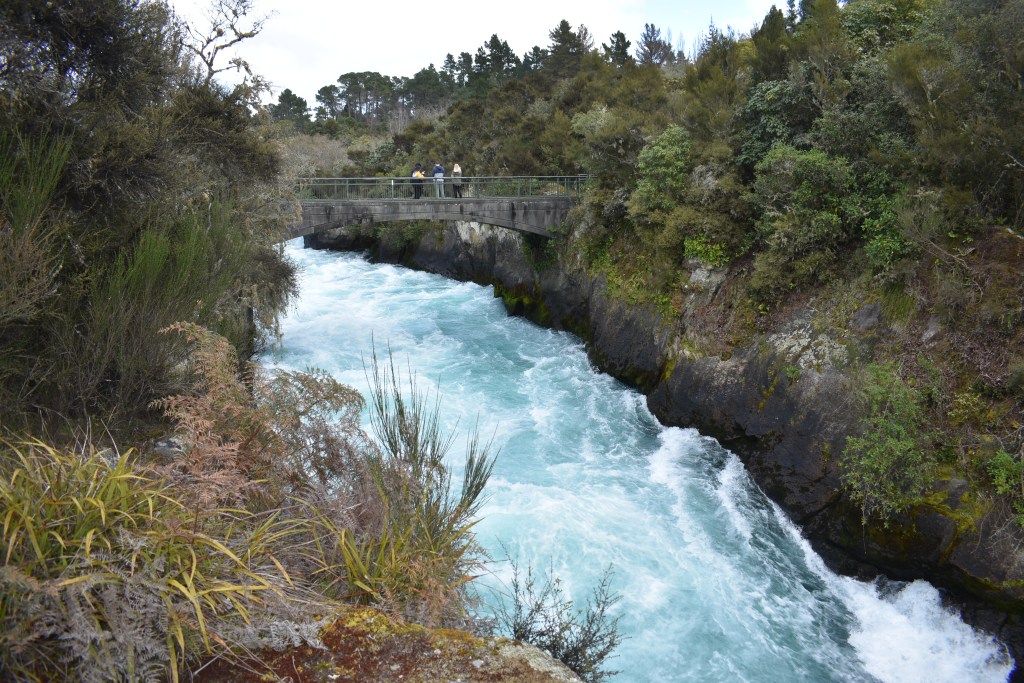
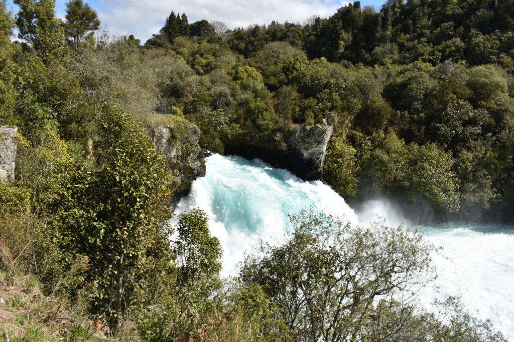
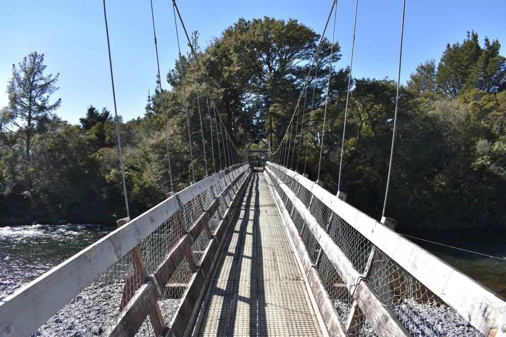
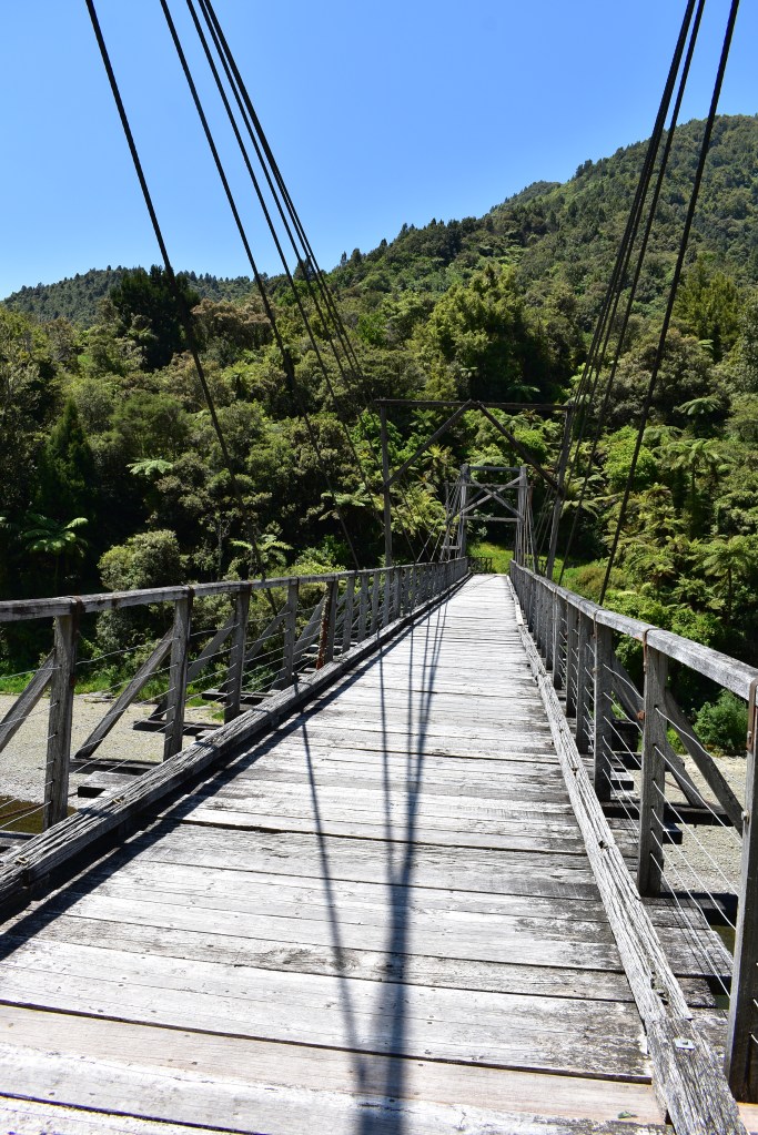
From there I drove for 27kms to a historic bridge off the route I was travelling. It was well worth the drive, different scenery to the coastal route (which most of the time went inland) as it went through a deep gorge. The bridge was a short walk along a gravel path from the car park. This bridge is the second to cross the Waiheke River, the first having been destroyed by flood in 1918. This bridge was likely built in 1922. It’s a single span multiple rope or harp suspension bridge spanning approximately 60 metres and is one of only two of its type remaining in NZ. It fell into disrepair but a conservation project was initiated and the bridge was officially reopened in 1995. The bridge was originally needed to link the farms of the Tauranga valley with the outside world and stands as a monument to the settlers’ commitment determined to make a living off the land of the Waioeka, an inhospitable place.

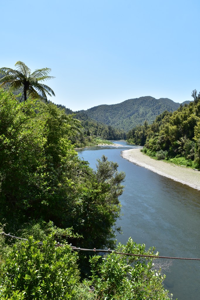
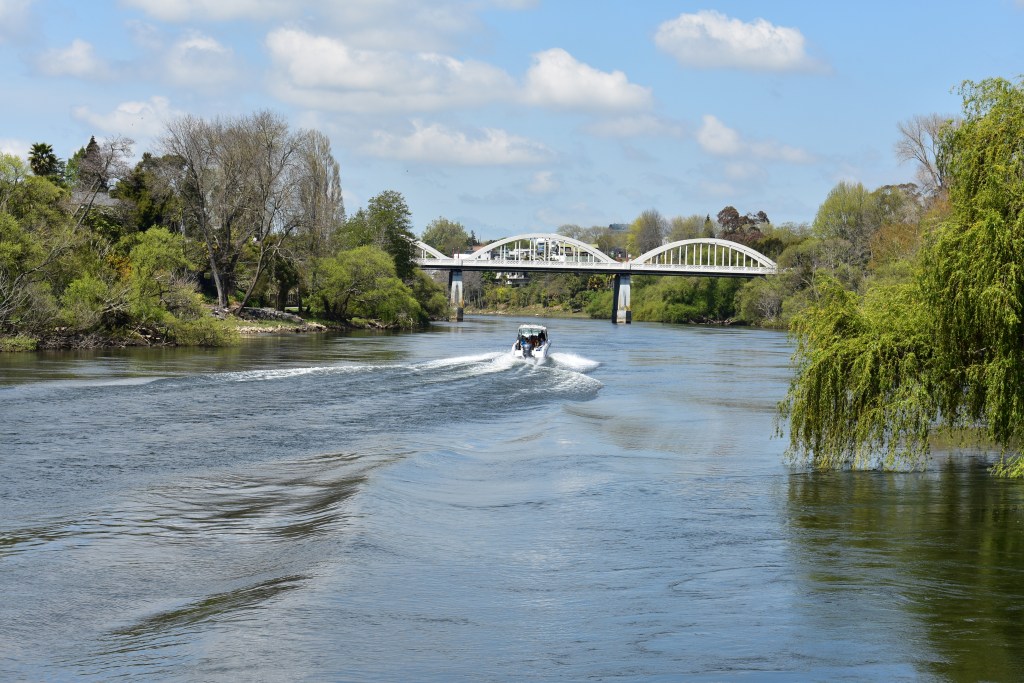
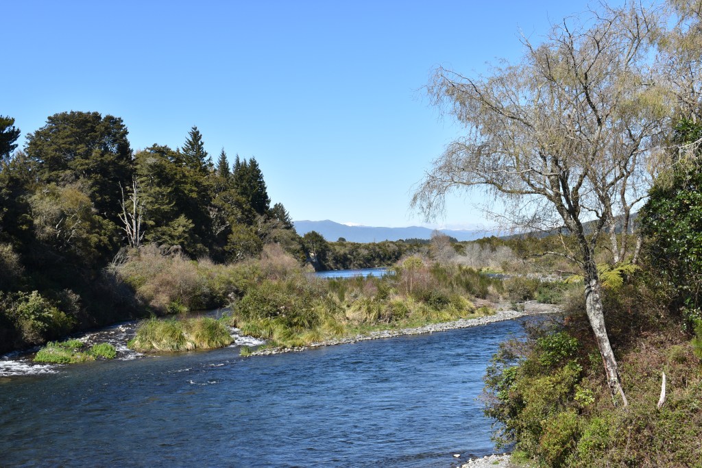
View from the bridge
I briefly chatted to a young French chap over our respective picnic lunches on a bench in the shade. He was travelling alone in a small camper he’d bought and was hoping to sell it for a similar price before returning home.
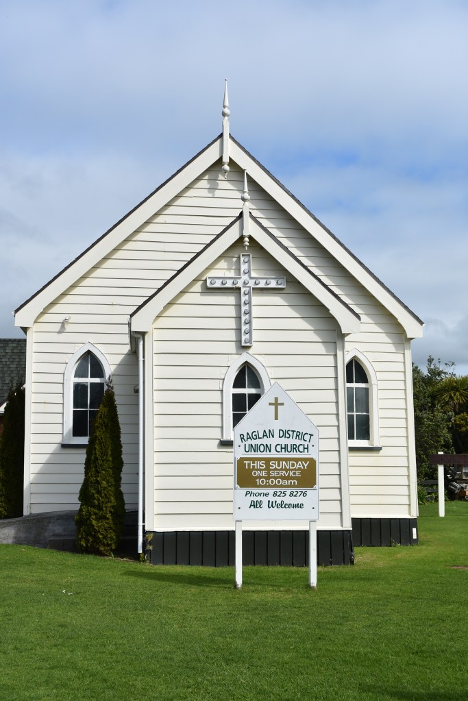
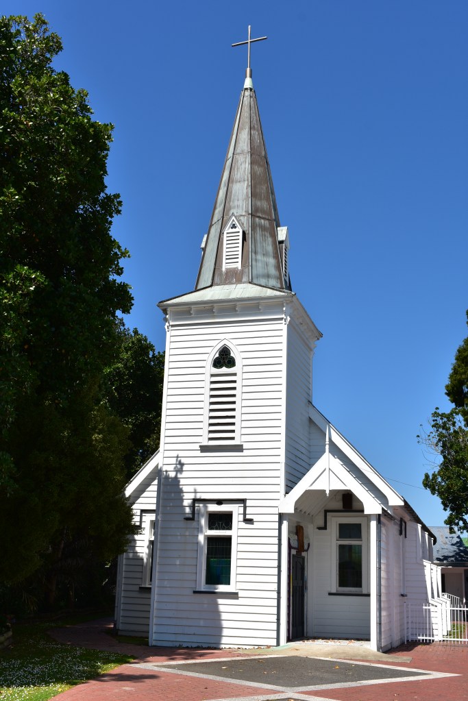
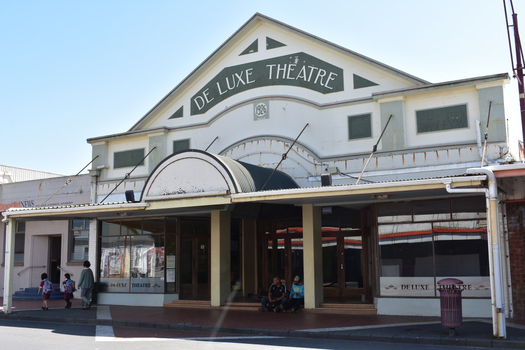
I drove back into Opotiki, which seemed quite a dishevelled town if you can describe a town in that way. Lots of shops had been closed and it generally looked rather shabby. However there was a Church of interest and a theatre, now a cinema. As luck would have it, just as I approached the church a lady opened up the main door. I followed her in but she told me the internal doors were on some security system which she couldn’t control so we stood looking in as she told me the history of the church, Hiona St. Stephen’s. It’s a small wooden church built in 1862 whose original minister, Reverend Carl Volkner, was thought to be a government spy by the local Maori Whakatohea tribe during the land wars and executed there in 1865. As a result a Maori man, Mokomoko, was wrongly hanged for his murder and in 1992 was posthumously pardoned by the governor-general.
I continued with the lovely drive, circuitous and really scenic and arrived at Waihau Bay Lodge, which looked lovely on the outside, where I was staying the night in a budget room. The lodge looked lovely from the outside but when I was shown my room my heart sank. It absolutely stank, the windows not having been opened to air it. There was one very soft king size bed and two single beds. The only other items of furniture were a mirror in a corner and a big, dusty old fashioned TV taking pride of place in the room which didn’t work anyway. There was a kitchen which could be used and that also stank of fish, with a rusty old empty (defrosted) chest freezer in the corner. There were two toasters but no kettle so when I asked for one was given a pan to boil the water.
I went to the bar for a pre dinner drink and someone asked if anyone had felt the earthquake early on Sunday morning. I asked where it was and was told that the centre of it was in Opotiki (36km from Ohope where felt the shuddering) so I said I had felt it but had thought it was the people above lovemaking, which raised a laugh! I had dinner of fish and kumara chips with salad (I’d earlier been told that they pan fried their fish with margarine!) and went to my now slightly less smelly room to read. I could not believe that I’d paid $60 for that room, more than the lovely little studio in Ohope Beach had cost.
I woke early on Tuesday so got up, had a quick breakfast outside and left by 7.30am as realised I had a fair drive to get to the next overnight stop and didn’t wish to stay a moment too long in that room although it did have a nice location overlooking the bay:
Waihau Bay 
Waihau Bay Lodge (main building)
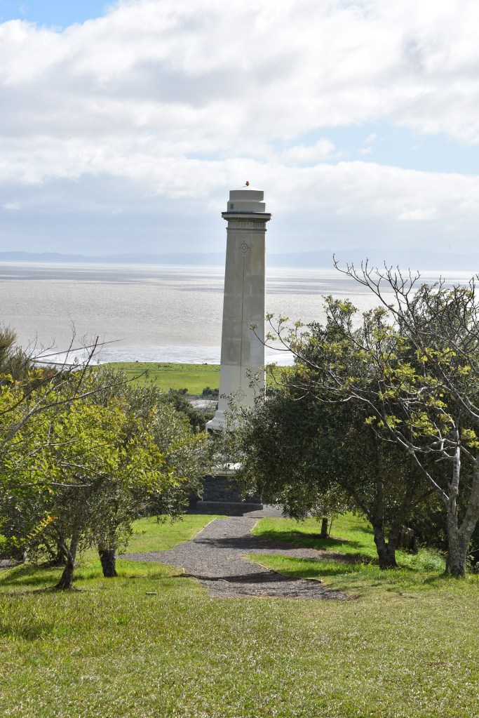
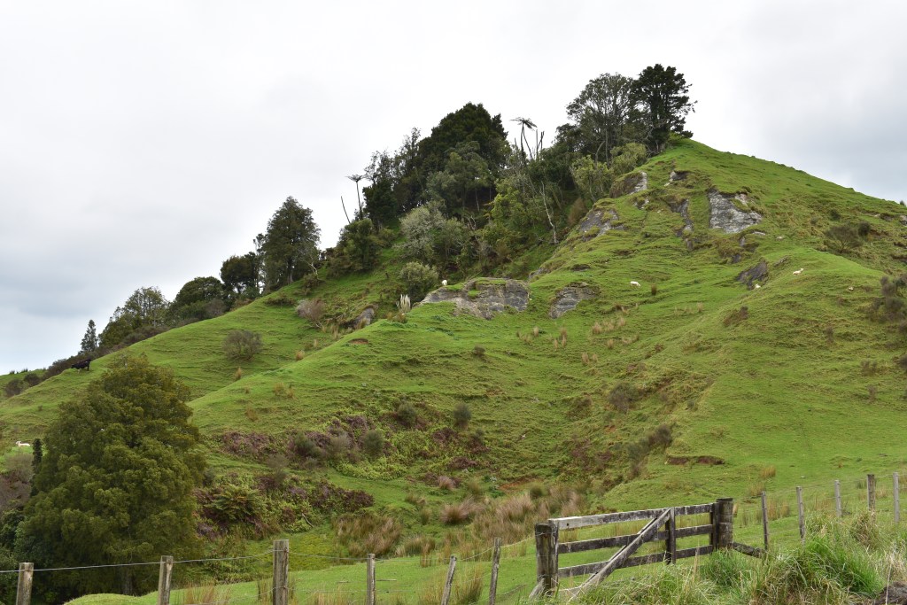
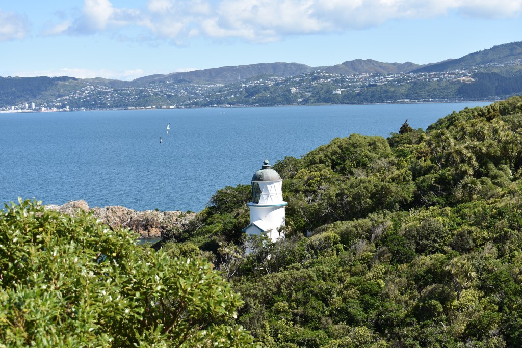
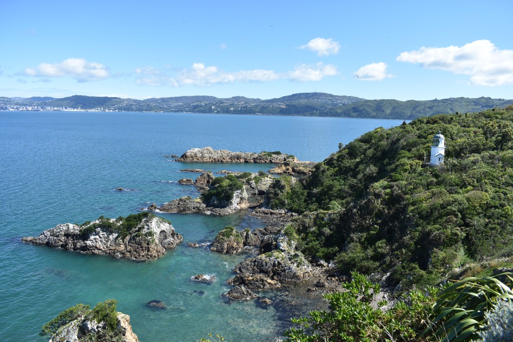
My first stop was to be the East Cape lighthouse, the most easterly point of NZ. Once I got to Te Aurora I took the East Cape Road, 20km of road half of which was unsealed, so quite a bumpy drive. There were one or two houses but this really is as remote as you can get. It’s recommended to walk up the 800 steps to arrive at the top for sunrise, but that would involve camping and a very early start in the dark, but I know some people have done that. By the time I was there it was 10am. The steps were initially very shallow and gradually got steepish but it wasn’t that taxing. Just a few steps from the top I met a lovely Kiwi couple called Lil and John and stood chatting to them for at least 30 minutes. They’d done loads of travelling, mainly backpacking and were currently doing a bit of travelling in NZ with their caravan. They live in Tauranga and offered to put me up, but I declined graciously (I’ve spent a lot of time there) and said I was booked in Rotorua, but said I’d try to meet them for a cup of tea en route to dropping off my hire car.
(Bottom 3 pics: views from the East Cape Lighthouse)
Steps up to the lighthouse 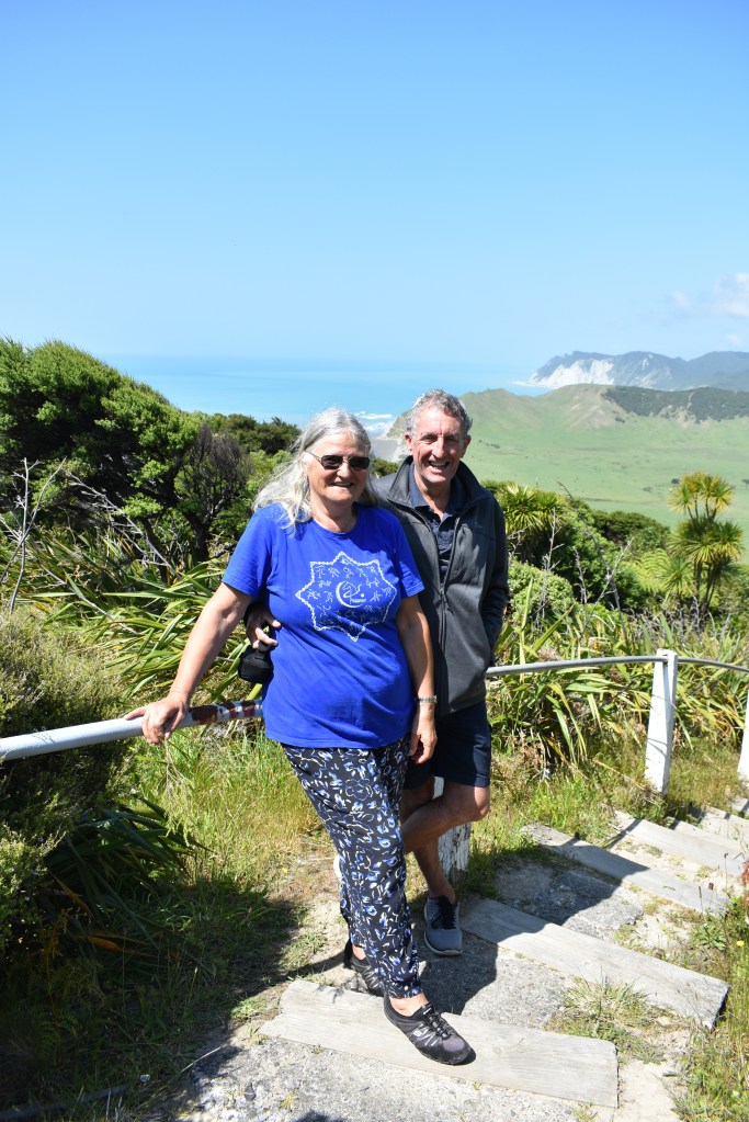
Lil and John 
The lighthouse 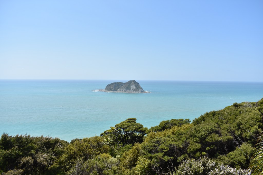
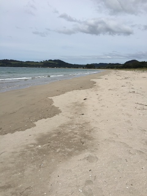
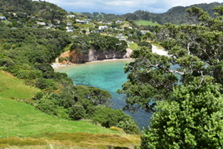
After my chat and visit to the lighthouse with some wonderful views, it was back to the main route and a drive around the east side of the Cape. Amazing how different the scenery was, not half as attractive weirdly as the west side. I stopped at Cafe 35 along the route as it had been recommended, for tea and scone, and then got to Tolaga Bay at 4pm. My Airbnb here was a nice little cabin, no one was around but the door was unlocked with key on the inside. I dropped off my things and went straight out to explore the beach, which was disappointingly full of driftwood:
I decided to walk back to the cabin and spotted a woman with a Jack Russell. I got level with her and she asked if I was travelling and we got chatting. Her name was Maria and she told me that she was nearly 65, that 18 months ago she’d decided to sell her house, most of her belongings, pack her car and take off around NZ not knowing where she’d go. She said it was the best thing she’d ever done and was really happy. She was staying in the backpackers of the Tolaga Bay Inn, had initially meant to stay for 2 nights but was still there 2 and a half months later, but leaving the next day not knowing where! I felt she was a kindred spirit. She had no children, although told me she’d miscarried a girl when she was 19 and a boy when she was 42, and never married. She had bundles of energy and had been walking the landlord’s dog, Roxy, morning and evening and was going to miss her.
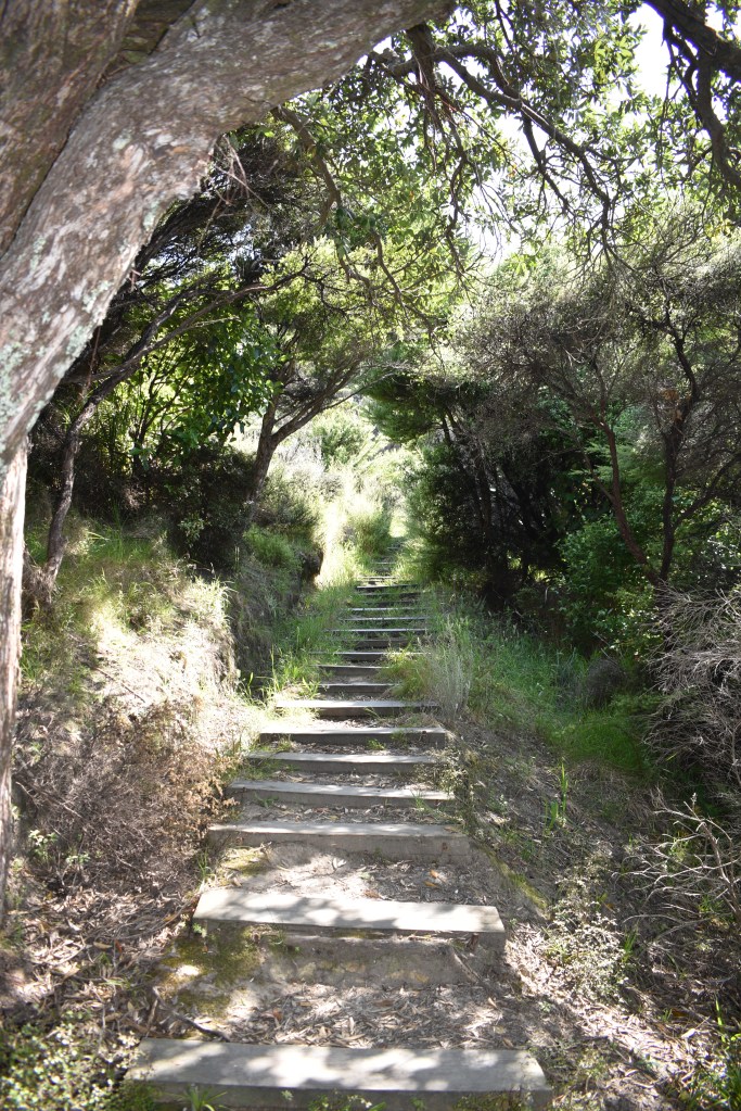
Maria told me about a nice walk at the end of the beach up onto the headland for views of the countryside on one side and the beach the other. It was clear that not many people went up that route judging by the rickety steps and leaf strewn, weedy path but it was worth it:

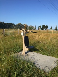
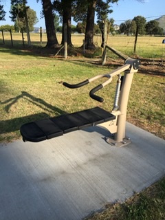
Maria had also told me that there were exercise machines along a road, which looked rather out of place especially with the grass growing around them but I had a go:

Later, back at the cabin, I met my hostess, Beatrice a French woman, who lived at the house next door with her Kiwi husband Hugh. She seemed very pleasant. However, unusually for an Airbnb there were instructions about cleaning the cabin before leaving and stripping the bed. After doing so in the morning (Wednesday) I popped next door to chat some more to Beatrice and met Hugh, both very nice people and I should have liked to have spent more time talking but on with the road trip! Later on, when I reviewed the Airbnb I mentioned how surprised I was to have to clean the whole cabin before I left. Beatrice said she would have to look at the instructions (lost in translation I think) as she didn’t mean that I cleaned the bathroom, just leave the kitchen free of dishes and empty bins, which I’d have done anyway.
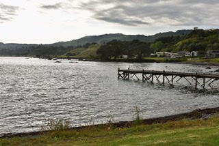
Only a short drive today but there were a couple of things to do before leaving Tolaga Bay which has the longest wharf in the southern hemisphere (660m). Just as I arrived, 3 van loads of Maori school kids with their teachers (I haven’t mentioned that the whole East Cape area is very popular with the Maori people as this was where their descendants first settled) who went half way down the wharf jumping off into the sea and back up a ladder.
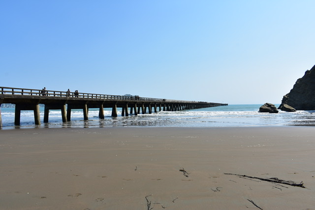
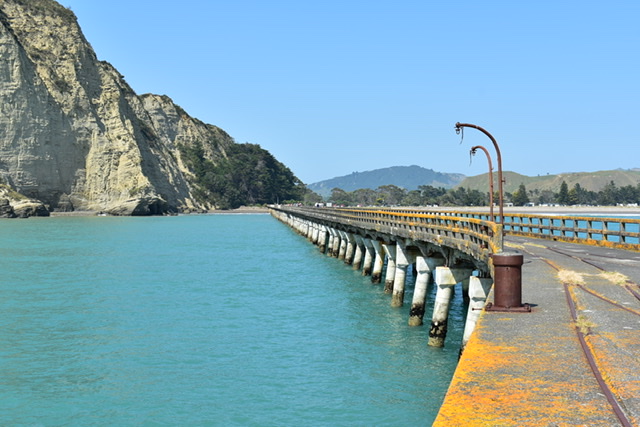
The wharf was built in 1929 and commercially functional until 1968. It’s been restored after dedicated and expensive preservation efforts.
The other local thing of interest was a walk to Cooks Cove Walkway where he stopped in 1769. Lovely walk initially up some steps, across country then through some forest, down lots of steps (I was thinking about having to walk back up them on the return). I was accompanied for some of the way by a lovely young English couple in their mid 20s, Rose and James, I’d been chatting to at a lookout. They’d bought a camper van and had been working as cooks during the ski season at Mount Ruapeho but said the skiing was pretty awful, yet they had a great time cooking and socialising with the guests. They’d also done some kiwi fruit picking which had been hard but well paid. They’d been travelling/working since October 2018 and were going home next April after 3 weeks in Japan. I do so love these random chats with people. You can get a real connection pretty quickly, mainly because we all love travelling, yet know you’ll never see them again.
Down at the Cove in the sea were lots more school children – what a nice way to spend a school day I thought.
View from the walk 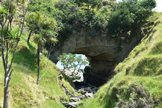
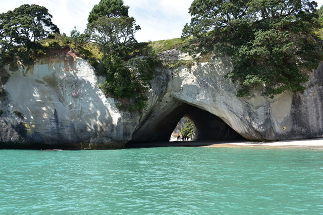
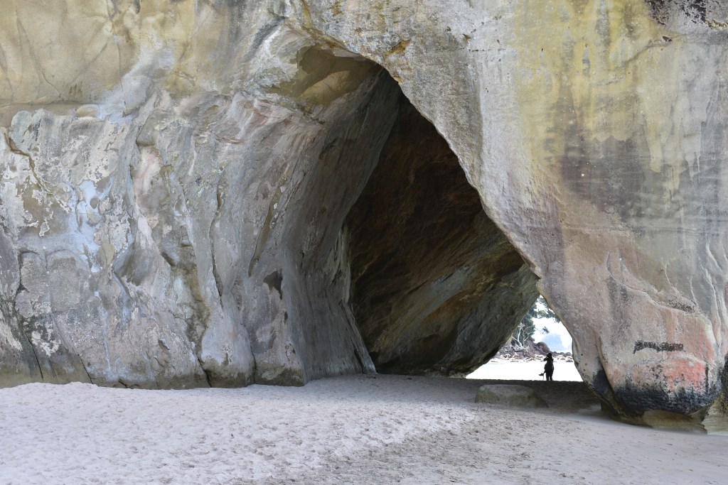
‘Hole in the wall” 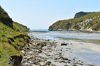
Cooks Cove
On the way back, and up the steps, I got chatting to a man from Bolton. His wife went off ahead, preceded by their daughter who lives in NZ. He and his wife come to NZ for 6 months during UK winter each year. They’d hoped to be able to live permanently in NZ where both their children live but the country brought in a new rule preventing this. I got the impression he wasn’t too bothered but his wife was.
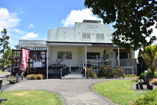
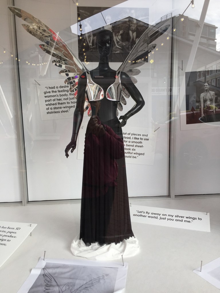
I had the next 2 nights booked in an Airbnb in Gisborne. After a quick stop in the town I paid a 45 minute visit, just before closing, to the Tairawhiti Museum & Art Gallery (best regional museum) which focuses on East Coast Maori and colonial history. There were excellent photographic displays also.
I went to the house I was staying at and met Catherine, my hostess. After a brief chat over tea I walked to the harbour for a nice (expensive) dinner then back to the house for a longer chat. Catherine’s husband Peter had died of prostate cancer 14 years ago, she told me he was 84 when he died. She’d been 24 when she married him and he was 47, and have a son, Romilly who lives in Gisborne, and daughter Cat(riona) who lives in Amsterdam. We had a very enjoyable conversation and she asked me to join her for dinner tomorrow night which I accepted and I think isn’t something she often does.
There is an interesting website about Peter Brown’s art with links to their children’s interests. Romilly is obsessed with board games and has started a little business making the pieces used in the games from polymer. Cat is a very good photographer: peterbrownartist.com I also came across an interesting article about an exhibition in 2015 of all the family’s art:
http://gisborneherald.co.nz/entertainment/1973772-135/family-affair-more-than-sum-of
Augustus John had noticed Peter Brown’s portraits when the latter was studying at the Slade School of Art in London and invited him to his studio. Catherine is a talented artist herself (mainly still life) and met her husband when she went to his art classes. The house is decorated with their artwork and I was given a private tour!
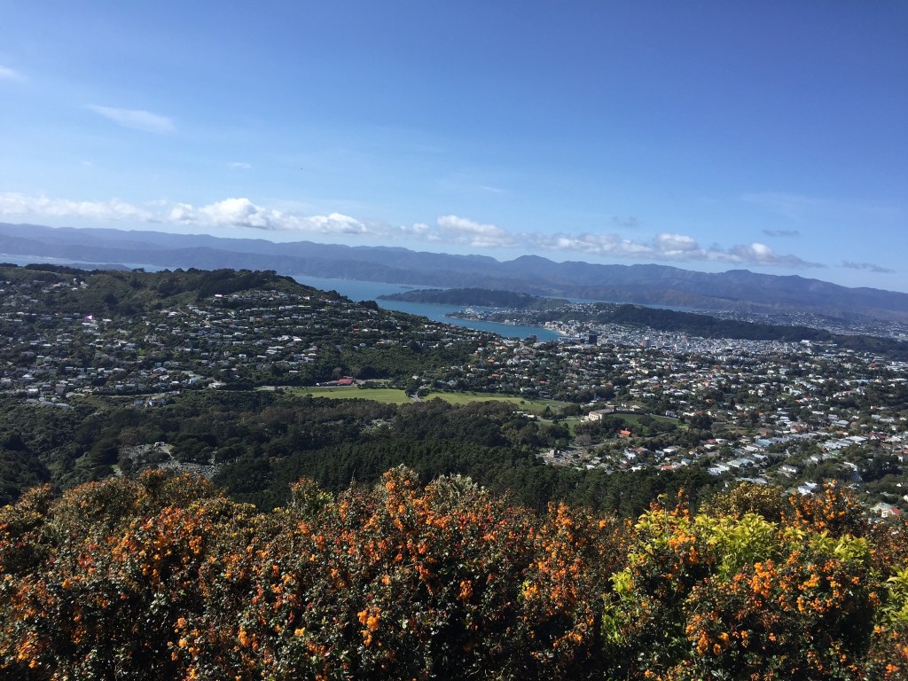
On Thursday morning I had breakfast with Catherine and another chat. She’s very easy to get on with and seems to enjoy my company. She’d told me last night about Titirangi Hill (the hill that dominates the town) and the Mt Everest challenge for people to walk up it 68 times within 2 months as it’s 130 meters high and that multiplied by 68 equals the height of Everest. Catherine had done this 3 years running but decided to double the 68 times then treble it, often walking up it twice or three times a day. She said it became an obsession.
http://gisborneherald.co.nz/localnews/4365181-135/conquering-everest
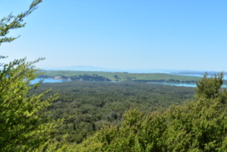
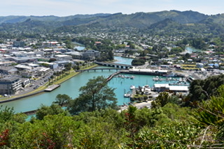
So I walked up it (just once) and took my time. It overlooks the town with its river, harbour and beach:
Near the summit was a Pohutakawa Tree (known as NZ Christmas tree as it blooms before Christmas) which had been planted by Princess Diana in 1983:

I walked back down and followed the Heritage Walk, all to do with the Maoris who first lived in the area and the landing of James Cook, who named the area Poverty Bay as he couldn’t get the supplies he required here. It was another very hot day today so I stopped off for a drink by the harbour and wrote a few Christmas cards. Then crossed the river to walk along the side of the town beach, then to a few Opp shops before they closed.
On the way back I stopped to chat to a man who’d blown up various inflatable Christmas figures in his garden (that yesterday were lying on the ground) and was busily putting up lights. I asked if I could take a picture as it seemed so strange to me having Christmas in the summer and asked when he’d switch the lights on. He said there would be a practice run tonight.
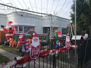
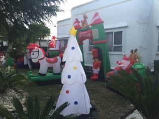
Back at the house I sat outside with Catherine eating a nice salad dinner she’d prepared and strawberries with yoghurt chatting about so many things then, when it got dark, I suggested we walk to check out the Christmas lights at the man’s house. He had a few on but he’d deflated all the figures so not worth a photo. Catherine knew of another house that usually had lights up so we walked there and it was very impressive. Back to the house where we chatted until 11pm. I’ve enjoyed meeting and talking with Catherine, a lovely lady, and hope that we will meet up again either in NZ or should she pay a visit to England.
The next day, Friday 29th, after a leisurely breakfast I left Catherine’s at 10am for the drive to Napier. I had it in my mind that it was just along the coast but it was a 3 hour drive and 214km. I didn’t see the sea at all until arriving just before Gisborne as state highway 2 goes inland. It was another hot day. About halfway I stopped at Wairoa, a town on the Wairoa river, because it looked nice but it really wasn’t. Had a quick bite and continued on to Napier to Peter and Beth’s, the Airbnb where I’d stayed for 5 nights back in August. I’d arranged with Peter, when I met him in Whitianga, to pay him in cash rather than go via the website and he told me he’d blocked out 29th for me. On arrival, Beth seemed surprised to see me (she’d forgotten my name as had probably had 60 or so other guests since me) and Peter was asleep on the sofa. He’d forgotten I was coming and they were embarrassed as hadn’t made the bed from the previous guest.
I took a walk into town along the Esplanade and via the supermarket for some supplies. Back at the house, their son Tim (who I’d briefly met before) and his wife Ellie were there and I was invited to join them all. Ellie is an Israeli who met Tim via a Christian dating website. After emailing for a while Tim travelled to Israel to meet her, they got on well and married a few months later both coming to Napier to live where they’ve recently bought a house. They had also flown to NZ, and had in quarantine, a Labrador/Retriever called Dooby that Ellie had rescued and this cost them a total of $8000! Lucky dog!
We had some wine, they got a takeaway while I had some leftovers from yesterday’s salad meal, and I enjoyed the conversation. There was another Airbnb guest, an Argentinian girl called Lucia, a Nutritionist, who’d come to Napier for a day’s conference. We hardly saw her and she left early the next morning.
Another leisurely breakfast chatting mainly to Peter and I left at 1030am stopping off first at the Salvation Army Opp shop where I picked up some white cut offs (I’d given the other two pairs of cut offs, which were a bit tight, to Catherine in exchange for some nice shorts she gave me) and two nice tops then got on my way to the Park Hotel in Ruapeho. This was a lovely drive, circuitous as usual, and I really enjoyed looking at the scenery driving at 80kmph and not the 100kmph limit which meant having to pull in to let other cars go past.
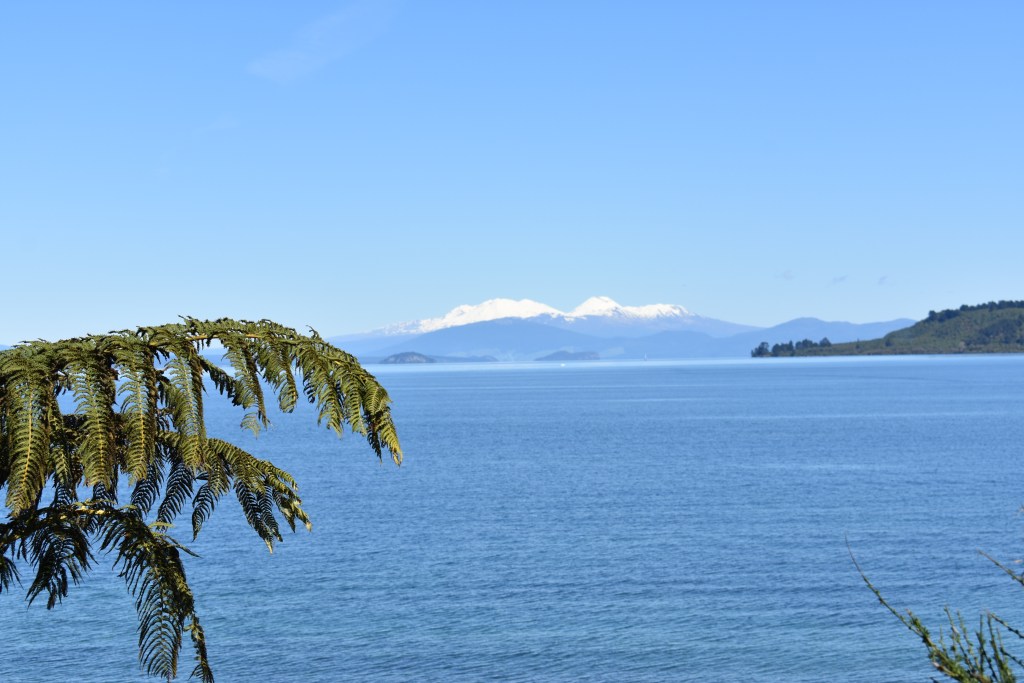
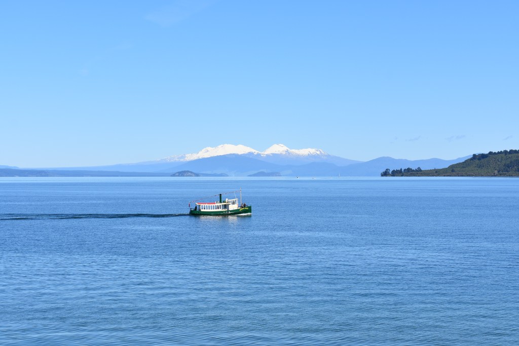
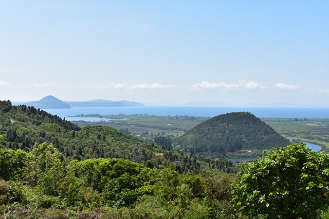
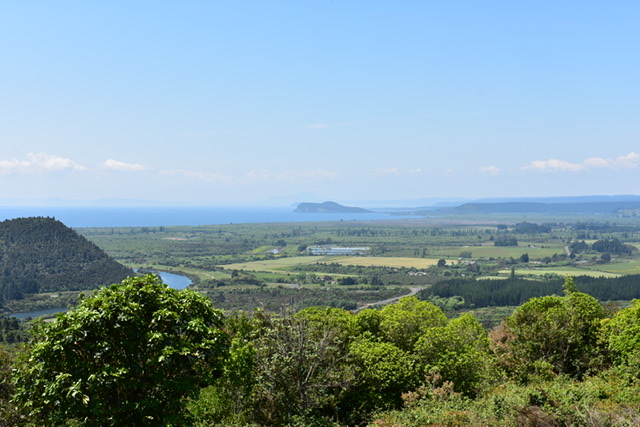
The route was via Lake Taupo, travelling a long way round it. For at least 30km around the lake there were hundreds of cyclists, fortunately on the other side of the road, but as the roads are mainly single lanes it meant traffic on the other side encroached on my side as they overtook the cyclists. I guess closing off the route for the event would have caused too much of a problem as there aren’t many other roads to divert onto. A google search revealed that it was the annual Lake Taupo Cycle Challenge, one of NZ’s biggest annual sport participation events. It started in 1977 and had just 26 participants but has grown to around 7000 riders from all over NZ and 20 countries. There was a variety of riders, some wearing their club colours, the occasional child and some who clearly hadn’t done much training. They raise thousands of dollars for local charities and have 14 different event categories, one being the 160km ‘Round the Lake’ – one lap circumnavigation of Lake Taupo – which no doubt attracts the elite riders.
So that was interesting but I really think, for the safety of the riders, they could have closed the road for that one day. I might even email them to say how concerned I was, not just for the cyclists but also for the vehicles dodging each other as well. Soon after there was a lookout opportunity and chance for a quick picnic lunch. Lovely views:
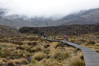
I was looking forward to the next 3 nights in the Park Hotel, Ruapeho, located in Tongariro National Park, used in the winter by skiers and mainly in the summer by people walking the Tongariro Crossing, my reason for coming. I wasn’t disappointed with the hotel and had a carb loading of pasta in the restaurant for dinner in anticipation of burning it all off the next day. A large group of Spanish speaking people arrived. In the dining room was a mix of people about to do the walk and others who’d just done it. It had started raining as I approached the area and continued on and off in the late afternoon/evening. Rain was forecast for the next day but not until the afternoon. Advice is to be prepared for all weathers as it’s alpine conditions. Mount Ruapeho still has snow on the top.

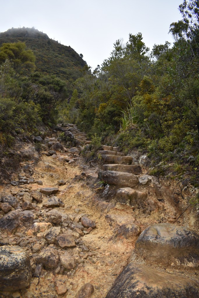
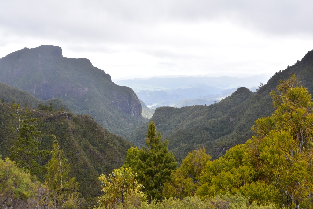
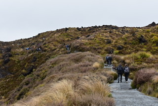
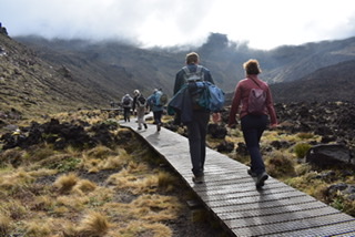
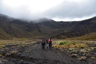
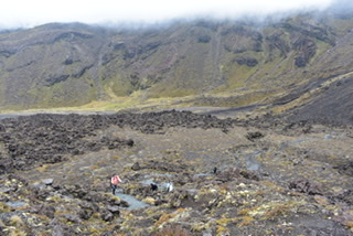
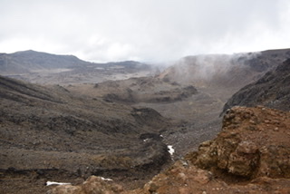
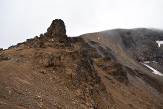
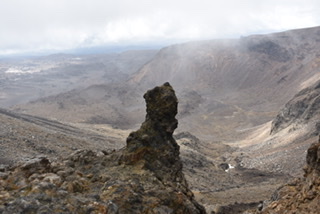
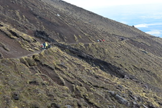
I didn’t sleep at all, no idea why, but got up at 6am as had booked the first shuttle bus at 7am to the start of the walk which is NZ’s best one day hike and is 19.4km long. I was feeling excited and positive about the walk. It starts at 1120m, climbing the Mangatepopo Valley to the saddle between Mount Tongariro and Mount Ngauruhoe, through South Crater before climbing again to Red Crater, the highest point on the crossing at 1886m. Tongariro National Park is the home of Mordor from the ‘Lord of the Rings’ film and Mount Ngauruhoe is Mount Doom.
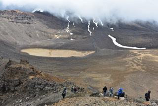
The first climb was mainly up steps, with some short flat sections in between. I’d been dreading the ‘Devil’s Stairway’ but it really wasn’t as bad as I’d thought. The second section before the summit was mainly over rocks and stones. I had my walking poles which made these sections so much easier but there were lots of younger people who were finding it hard work without. Over the top there was a lot of sliding down scree rewarded with views of the Emerald Lakes and then one large lake called Blue Lake. These are considered sacred to the Maori people and the water is not to be touched nor stones thrown into it. The final descent seemed to go on for ever down steps and along board walks, winding round and down (a bit monotonous really but I still enjoyed it) until it ended up in forest and eventually led to the car park at Ketetahi Road. I’d jogged and walked fast through the forest section to try and make the 3pm shuttle bus (the next one being at 4.30pm) and just made it!
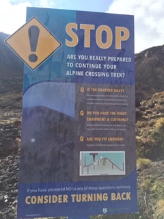
At a couple of points before the summit there were signs warning you that this was the point where things would get harder so you should turn back if you didn’t feel up to it. I noticed a few people did turn back although some had walked to the summit then retraced their steps.
During the walk I met a German woman who was travelling with her ex colleague as they’d both retired recently from teaching. Her colleague didn’t want to do the walk but had gone to visit a waterfall. It transpired that they’d been housesitting in Oz and NZ via Trusted Housesitters. I met another younger German woman called Beatie who was travelling for 6 months and had hired a car for 3 of those which she could sleep in. Also a nice Spanish couple (part of the group in my hotel) and had a brief conversation with them.
There were quite a few people doing the walk and I got the impression that should anyone have a problem someone would come to your aid, there seemed to be camaraderie as we were all there to achieve our goal of walking the walk!
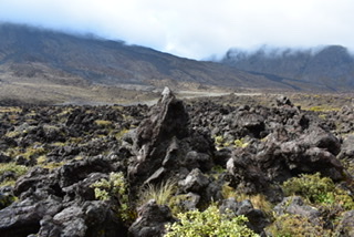
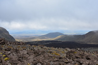
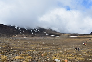
The scenery was much better than I’d expected, in fact it was stunning with initially marshland, then volcanic matter, beautiful red coloured rock (the Red Crater) and the forest. Fantastic views for miles. The weather was pretty cold, in fact I wore 4 layers for most of the time, a hat and gloves. There was quite a wind blowing as well. I later learnt that Search and Rescue have the most call outs in NZ on this walk and specifically after the summit, presumably people being tired and missing their footing. The good thing was that the bus driver had our names for the initial pick up and if by the last bus anyone hadn’t returned by then a search would be initiated.
So many fabulous views on this walk:
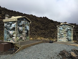
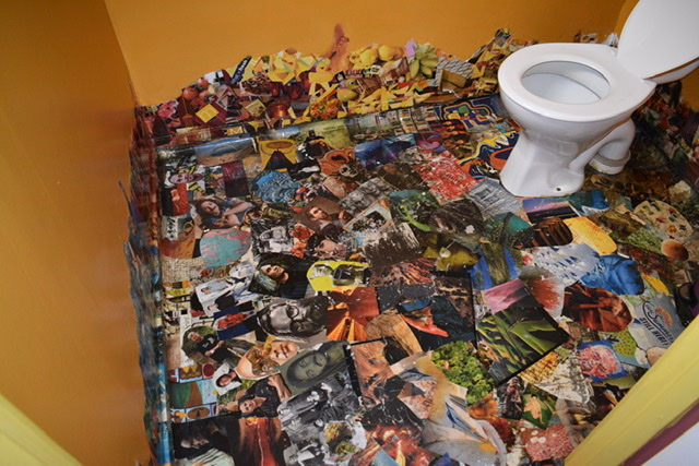
Decorated loos! 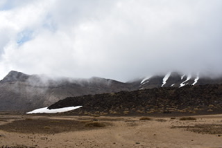

One is a cardboard cutout! 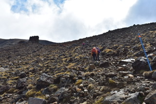

Red crater 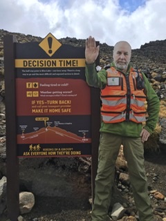
Cardboard cutout 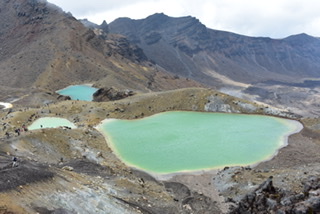
Emerald Lakes 
The Blue Lake 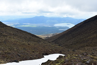
Long descent 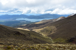

There’s a great video about the walk on YouTube by NZ Mountain Safety Council ‘The Tongariro Alpine Crossing: Alpine tramping (hiking) series/New Zealand which is worth a watch (problem is I don’t know how to embed the link here).
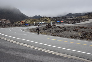
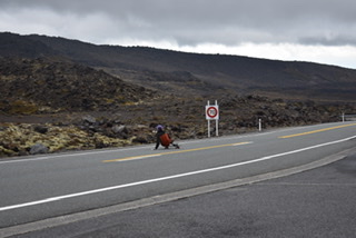
Monday morning I woke late, unusually, probably as a result of yesterday’s exertions. I did do some stretching exercises with an American woman on YouTube (Annie would be impressed) and that really helped my legs i.e. I could walk without difficulty. I faced about on my iPad and then took a drive out to Whakapapa village and to the ski area. You can ride a gondola to the top of Mt Ruapeho, which I’d been told was worth doing, however there was no one about and it clearly wasn’t going. The visibility was pretty poor so I presumed that was why. The ski village was certainly very different to the French/Swiss Alps but then it is a volcano. I stopped to take photos but had been rather spoilt for views yesterday. I marvelled at a man who was skateboarding down a section of the main road, not that there was much traffic but, even so, pretty extreme.

Alpine village! 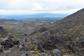
Extreme skateboarder 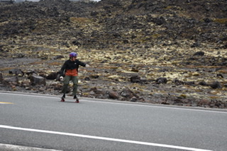

I paid a visit to the I-site centre to discover that the Tongariro Crossing Walk wasn’t recommended today owing to the weather and is cancelled tomorrow, so was glad I managed to do it yesterday but a shame for those who can’t. However, there will always be some idiots who’ll disregard the advice although they would need transport each end which could be difficult to arrange.
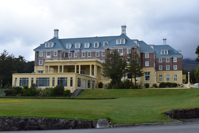
My second port of call was the Chateau Tongariro (hotel), also recommended, built in 1929. I had looked into having high tea there but the amount of food and price put me off so I settled for earl grey tea and a scone instead in the lounge by one of the picture windows. The Lonely Planet guide to NZ describes the hotel’s grandeur as an touch faded’ and I thought it was pretty ugly, not resembling a chateau in the slightest:
I enjoyed a gin and tonic in the bar back at the hotel before a fish and chip dinner.
End of part 1 of 2 of this road trip.